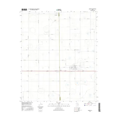
2016 Map of Lorenzo
USGS Topo · Published 2016About this map
Lorenzo sits at the junction of the Lubbock Co Crosby Co line, serving as a primary hub on the Llano Estacado. The town's grid is well-defined by streets named for presidents, including Washington, Jefferson, and Van Buren Ave. To the north, the historic community of Estacado represents some of the earliest settlement in the region, marked today by the Estacado Cem. The landscape is dominated by agricultural development, with a network of farm-to-market roads such as E Fm 1527 and Ranch Rd 378 connecting scattered homesteads. Genealogy interests are supported by the presence of several burial grounds, including the Lorenzo Cem and West Side Cem, which anchor the local family history of this High Plains farming district.
Find a feature on this map
56 named features on this map. Tap any name to fly to it.
Don’t see what you’re looking for? This feature index may not catch every label — zoom into the map to look around manually.
Map Details
Editions of this 2016 Lorenzo Map
This is the sole edition of this map. No revisions or reprints were ever made.
Other maps of this area

1954 · Lubbock
USGS Topo · 1:250,000

1965 · Acuff
USGS Topo · 1:24,000

1965 · Buffalo Springs Lake
USGS Topo · 1:24,000

1965 · Idalou
USGS Topo · 1:24,000

1965 · Petersburg
USGS Topo · 1:24,000

1965 · Lorenzo
USGS Topo · 1:24,000

1965 · Heckville
USGS Topo · 1:24,000

1965 · Cone
USGS Topo · 1:24,000

1967 · Ralls
USGS Topo · 1:24,000

1967 · Savage
USGS Topo · 1:24,000