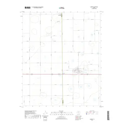
2019 Map of Lorenzo
USGS Topo · Published 2019About this map
Lorenzo serves as the primary hub in this West Texas agricultural landscape, its residential grid defined by streets such as Washington and Jefferson north of Idalou Rd. The map illustrates a highly organized section-line road network that facilitates transit between the central townsite and outlying areas like Estacado. This rural community is anchored by local history markers, specifically Estacado Cem, which speaks to the early Quaker settlement roots in this part of the Llano Estacado. The landscape is dotted with numerous small depressions and basins, a characteristic of the High Plains topography, while the Lubbock County and Crosby County line bisects the area. For those researching local heritage, the placement of the Lorenzo Cem and West Side Cem provides specific geographic context for family history and the development of these High Plains settlements.
Find a feature on this map
57 named features on this map. Tap any name to fly to it.
Don’t see what you’re looking for? This feature index may not catch every label — zoom into the map to look around manually.
Map Details
Editions of this 2019 Lorenzo Map
This is the sole edition of this map. No revisions or reprints were ever made.
Other maps of this area

1954 · Lubbock
USGS Topo · 1:250,000

1965 · Acuff
USGS Topo · 1:24,000

1965 · Buffalo Springs Lake
USGS Topo · 1:24,000

1965 · Idalou
USGS Topo · 1:24,000

1965 · Petersburg
USGS Topo · 1:24,000

1965 · Lorenzo
USGS Topo · 1:24,000

1965 · Heckville
USGS Topo · 1:24,000

1965 · Cone
USGS Topo · 1:24,000

1967 · Ralls
USGS Topo · 1:24,000

1967 · Savage
USGS Topo · 1:24,000