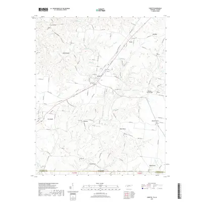
2019 Map of Loretto
USGS Topo · Published 2019About this map
Loretto and St. Joseph serve as the primary hubs in this southern Lawrence County landscape, situated just north of the Tennessee Alabama state line. The map highlights a rural infrastructure defined by numerous family-named landmarks and small communities like Rascal Town, Peppertown, and Brown Crossroads. Local history and genealogy are well-represented through a dense concentration of burial sites, including the Sacred Heart Cem, Saint Marys Cem, and Hensley Ridge Cem.
Find a feature on this map
139 named features on this map. Tap any name to fly to it.
Don’t see what you’re looking for? This feature index may not catch every label — zoom into the map to look around manually.
Map Details
Editions of this 2019 Loretto Map
This is the sole edition of this map. No revisions or reprints were ever made.
Other maps of this area

1905 · Waynesboro
USGS Topo · 1:125,000

1914 · Rogersville
USGS Topo · 1:48,000

1914 · Muscle Shoals
USGS Topo · 1:48,000

1916 · Muscle Shoals
USGS Topo · 1:62,500

1916 · Rogersville
USGS Topo · 1:62,500

1936 · Westpoint
USGS Topo · 1:24,000

1936 · Lexington
USGS Topo · 1:24,000

1936 · Lawrenceburg
USGS Topo · 1:24,000

1936 · Long Branch
USGS Topo · 1:24,000

1936 · Loretto
USGS Topo · 1:24,000