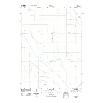
2010 Map of Loring
USGS Topo · Published 2010About this map
The South Skunk River meanders through this portion of Story County, leaving behind a complex network of Old Channel segments that define the local drainage and topography. Near the center of the sheet, the small settlement of Loring sits at a crossroads, while Oldfield marks a point of interest to the southeast. The landscape is heavily agricultural, partitioned by a rigid grid of country roads such as Ne 150th Ave and Ne 80th ST.
Find a feature on this map
43 named features on this map. Tap any name to fly to it.
Don’t see what you’re looking for? This feature index may not catch every label — zoom into the map to look around manually.
Map Details
Editions of this 2010 Loring Map
This is the sole edition of this map. No revisions or reprints were ever made.
Other maps of this area

1905 · Des Moines
USGS Topo · 1:62,500

1907 · Des Moines
USGS Topo · 1:62,500

1911 · Slater
USGS Topo · 1:62,500

1913 · Slater
USGS Topo · 1:62,500

1930 · Mitchellville
USGS Topo · 1:62,500

1954 · Des Moines
USGS Topo · 1:250,000

1956 · Des Moines
USGS Topo · 1:250,000

1956 · Des Moines NE
USGS Topo · 1:24,000

1956 · Des Moines
USGS Topo · 1:62,500

1957 · Des Moines
USGS Topo · 1:250,000