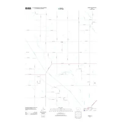
2013 Map of Loring
USGS Topo · Published 2013About this map
The S Skunk River dominates the drainage of this central Iowa landscape, winding through a corridor marked by numerous remnants of its former path. These segments, labeled as Old Channel, suggest a history of natural meandering and human intervention to manage the floodplain. This engineering effort is further evidenced by significant drainage projects such as Ditch Number 11 and Ditch Number 38, which channel water through the agricultural grid. Small rural settlements like Loring and Oldfield sit along the rectilinear road network, reflecting the traditional township organization of Story County. Near the eastern edge, Farrar Airport provides a modern aviation landmark amidst the creeks and fields. The map also captures the paths of Indian Creek and Calamus Cr as they contribute to the regional watershed, illustrating the persistent relationship between the local geography and the managed waterways of the early twenty-first century.
Find a feature on this map
51 named features on this map. Tap any name to fly to it.
Don’t see what you’re looking for? This feature index may not catch every label — zoom into the map to look around manually.
Map Details
Editions of this 2013 Loring Map
This is the sole edition of this map. No revisions or reprints were ever made.
Other maps of this area

1905 · Des Moines
USGS Topo · 1:62,500

1907 · Des Moines
USGS Topo · 1:62,500

1911 · Slater
USGS Topo · 1:62,500

1913 · Slater
USGS Topo · 1:62,500

1930 · Mitchellville
USGS Topo · 1:62,500

1954 · Des Moines
USGS Topo · 1:250,000

1956 · Des Moines
USGS Topo · 1:250,000

1956 · Des Moines NE
USGS Topo · 1:24,000

1956 · Des Moines
USGS Topo · 1:62,500

1957 · Des Moines
USGS Topo · 1:250,000