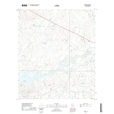
2018 Map of Loring
USGS Topo · Published 2018About this map
The town of Many and the settlement of Loring anchor this 2018 survey of Sabine Parish, where the local economy and geography are defined by the eastern reaches of the Toledo Bend Reservoir. The landscape is a complex drainage basin for Bayou La Nana and several significant tributaries, including Edmondson Cr and Prairie Cr. For those researching family history, the map includes several burial sites such as Pilgrim Rest Cem, Fenders Cem, and Anderson Cem, often situated near early roads like Cade Woodyard RD and Mount Olive RD. This area shows the continued importance of water resources, from the recreational and utility value of Loring Lake to the meandering courses of Harpoon Bayou and San Jose Cr, which cut through the wooded terrain of T7N and T6N.
Find a feature on this map
70 named features on this map. Tap any name to fly to it.
Don’t see what you’re looking for? This feature index may not catch every label — zoom into the map to look around manually.
Map Details
Editions of this 2018 Loring Map
This is the sole edition of this map. No revisions or reprints were ever made.
Other maps of this area

1941 · Zwolle
USGS Topo · 1:62,500

1942 · Many
USGS Topo · 1:62,500

1942 · Florien
USGS Topo · 1:62,500

1943 · Many
USGS Topo · 1:62,500

1944 · Negreet
USGS Topo · 1:62,500

1944 · Florien
USGS Topo · 1:62,500

1944 · Zwolle
USGS Topo · 1:62,500

1953 · Alexandria
USGS Topo · 1:250,000

1954 · Florien
USGS Topo · 1:62,500
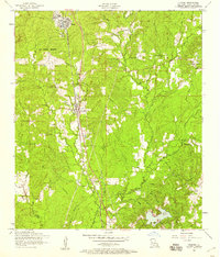
1954 · Florien
USGS Topo · 1:24,000