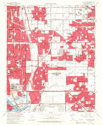
1964 Map of Los Alamitos
USGS Topo · Published 1966About this map
Naval Air Station Los Alamitos and the US Naval Weapons Station Seal Beach anchor the southern landscape of this mid-1960s study, illustrating the significant military footprint in Orange County during the Cold War era. The surrounding suburban expansion is evident in the dense residential grids of Los Alamitos, Cypress, and the uniquely named Dairy Valley. Notable landmarks such as the Los Alamitos Racetrack and the extensive grounds of Forest Lawn Memorial Park (Cem) stand out amidst the rapid development.
Find a feature on this map
109 named features on this map. Tap any name to fly to it.
Don’t see what you’re looking for? This feature index may not catch every label — zoom into the map to look around manually.
Map Details
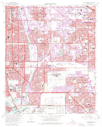
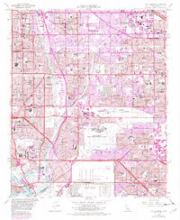
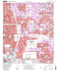
Editions of this 1964 Los Alamitos Map
4 editions found
Other maps of this area

1896 · Santa Ana
USGS Topo · 1:62,500

1896 · Anaheim
USGS Topo · 1:62,500

1896 · Las Bolsas
USGS Topo · 1:62,500

1896 · Downey
USGS Topo · 1:62,500

1898 · Anaheim
USGS Topo · 1:62,500

1899 · Downey
USGS Topo · 1:62,500

1901 · Southern California Sheet No. 1
USGS Topo · 1:250,000

1901 · Santa Ana
USGS Topo · 1:62,500

1901 · Anaheim
USGS Topo · 1:62,500

1902 · Downey
USGS Topo · 1:62,500