
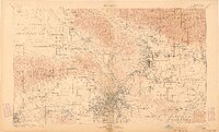
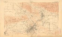
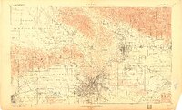
1900 Map of Los Angeles
USGS Topo · Published 1900About this map
Los Angeles stands at the center of a rapidly evolving coastal plain at the turn of the century, bounded by the San Gabriel Timber Land Reserve and the Santa Monica Mountains. This map captures the region's agricultural roots before the massive urbanization of the 20th century, showing extensive rancho boundaries such as La Brea and San Jose de Buenos Ayres. The street grid of the city center contrasts with peripheral settlements like Hollywood and Colegrove, which appear as distinct small communities.
Find a feature on this map
161 named features on this map. Tap any name to fly to it.
Don’t see what you’re looking for? This feature index may not catch every label — zoom into the map to look around manually.
Map Details
Editions of this 1900 Los Angeles Map
4 editions found
Other maps of this area

1894 · Los Angeles
USGS Topo · 1:62,500

1894 · Pomona
USGS Topo · 1:62,500

1896 · Pasadena
USGS Topo · 1:62,500

1896 · Anaheim
USGS Topo · 1:62,500

1896 · Redondo
USGS Topo · 1:62,500

1896 · Santa Monica
USGS Topo · 1:62,500

1896 · Downey
USGS Topo · 1:62,500

1897 · Pomona
USGS Topo · 1:62,500

1898 · Pomona
USGS Topo · 1:62,500

1898 · Santa Monica
USGS Topo · 1:62,500