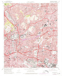
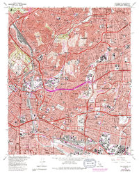
1966 Map of Los Angeles
USGS Topo · Published 1975About this map
Boyle Heights and East Los Angeles form the dense residential and industrial core of this mid-1960s survey, illustrating a landscape defined by massive infrastructure and historic neighborhood development. The corridor is dominated by a complex network of major transit arteries, including the Pasadena Freeway and Golden State Freeway, which cut through established areas like Lincoln Heights and City Terrace. These freeways weave around major institutional hubs such as the County Courthouse, City Hall, and the Sheriff Academy near Elysian Park.
Find a feature on this map
82 named features on this map. Tap any name to fly to it.
Don’t see what you’re looking for? This feature index may not catch every label — zoom into the map to look around manually.
Map Details
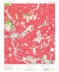
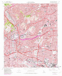
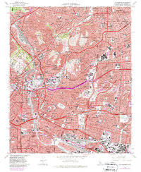
Editions of this 1966 Los Angeles Map
5 editions found
Other maps of this area

1894 · Los Angeles
USGS Topo · 1:62,500

1896 · Pasadena
USGS Topo · 1:62,500

1896 · Redondo
USGS Topo · 1:62,500

1896 · Santa Monica
USGS Topo · 1:62,500

1896 · Downey
USGS Topo · 1:62,500

1898 · Santa Monica
USGS Topo · 1:62,500

1899 · Downey
USGS Topo · 1:62,500

1900 · Pasadena
USGS Topo · 1:62,500

1900 · Los Angeles
USGS Topo · 1:62,500

1901 · Southern California Sheet No. 1
USGS Topo · 1:250,000