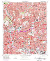
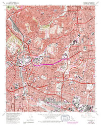
1966 Map of Los Angeles
USGS Topo · Published 1987About this map
Dodger Stadium and the Elysian Park area stand as prominent landmarks in this mid-1960s study of central Los Angeles and its eastern neighbors. The map reveals a dense urban landscape defined by the converging ribbons of the Pasadena Freeway and the Golden State Freeway, showing the massive infrastructure required to support the region's mid-century expansion. Along the Los Angeles River, industrial hubs like Vernon and the Commerce rail yards at Hobart illustrate the city's economic backbone, while the presence of several historic burial grounds, including the Evergreen Cemetery and Home of Peace Cemetery, provides significant data for genealogical research.
Find a feature on this map
76 named features on this map. Tap any name to fly to it.
Don’t see what you’re looking for? This feature index may not catch every label — zoom into the map to look around manually.
Map Details
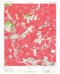
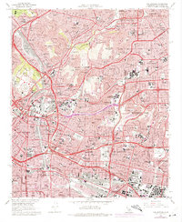
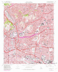
Editions of this 1966 Los Angeles Map
5 editions found
Other maps of this area

1894 · Los Angeles
USGS Topo · 1:62,500

1896 · Pasadena
USGS Topo · 1:62,500

1896 · Redondo
USGS Topo · 1:62,500

1896 · Santa Monica
USGS Topo · 1:62,500

1896 · Downey
USGS Topo · 1:62,500

1898 · Santa Monica
USGS Topo · 1:62,500

1899 · Downey
USGS Topo · 1:62,500

1900 · Pasadena
USGS Topo · 1:62,500

1900 · Los Angeles
USGS Topo · 1:62,500

1901 · Southern California Sheet No. 1
USGS Topo · 1:250,000