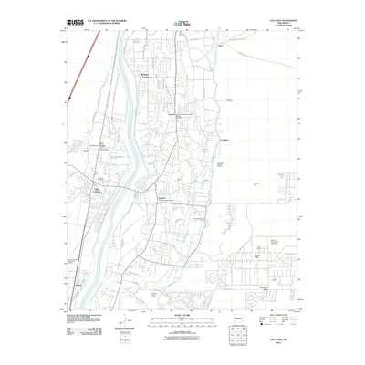
2010 Map of Los Lunas
USGS Topo · Published 2010About this map
The Rio Grande valley south of Albuquerque serves as a primary corridor for settlement and agriculture in this 2010 survey. The landscape is defined by an intricate network of irrigation features such as the Peralta Ditch, Tome Drain, and Chical Lateral, which sustain the communities of Bosque Farms, Peralta, and Valencia. These waterworks reflect centuries of land management in the Rio Grande basin, supporting small-scale farming alongside modern residential developments.
Find a feature on this map
80 named features on this map. Tap any name to fly to it.
Don’t see what you’re looking for? This feature index may not catch every label — zoom into the map to look around manually.
Map Details
Editions of this 2010 Los Lunas Map
This is the sole edition of this map. No revisions or reprints were ever made.
Other maps of this area

1952 · Wind Mesa
USGS Topo · 1:24,000

1952 · Dalies
USGS Topo · 1:24,000

1952 · Tome NE
USGS Topo · 1:24,000

1952 · Belen
USGS Topo · 1:24,000

1952 · Hubbell Spring
USGS Topo · 1:24,000

1952 · Tome
USGS Topo · 1:24,000

1952 · Los Lunas SE
USGS Topo · 1:24,000

1952 · Los Lunas
USGS Topo · 1:24,000

1952 · Isleta
USGS Topo · 1:24,000

1954 · Socorro
USGS Topo · 1:250,000