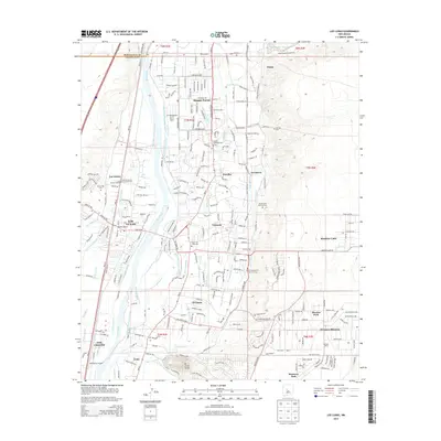
2013 Map of Los Lunas
USGS Topo · Published 2013About this map
Rio Grande waters dominate the valley floor, channeled through an intricate network of irrigation and drainage infrastructure including the Upper Belen Riverside Drain and Lower Peralta Riverside Drain. This modern landscape preserves profound archaeological and cultural layers, most notably the Pottery Mound and the historic Los Lentes Pueblo. The settlement pattern follows the fertile river corridor, where established communities like Bosque Farms, Peralta, and Los Lunas are connected by the NM-314 and NM-47 corridors.
Find a feature on this map
91 named features on this map. Tap any name to fly to it.
Don’t see what you’re looking for? This feature index may not catch every label — zoom into the map to look around manually.
Map Details
Editions of this 2013 Los Lunas Map
This is the sole edition of this map. No revisions or reprints were ever made.
Other maps of this area

1952 · Wind Mesa
USGS Topo · 1:24,000

1952 · Dalies
USGS Topo · 1:24,000

1952 · Tome NE
USGS Topo · 1:24,000

1952 · Belen
USGS Topo · 1:24,000

1952 · Hubbell Spring
USGS Topo · 1:24,000

1952 · Tome
USGS Topo · 1:24,000

1952 · Los Lunas SE
USGS Topo · 1:24,000

1952 · Los Lunas
USGS Topo · 1:24,000

1952 · Isleta
USGS Topo · 1:24,000

1954 · Socorro
USGS Topo · 1:250,000