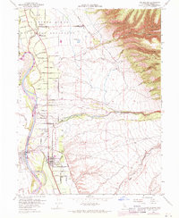
1952 Map of Los Molinos
USGS Topo · Published 1971About this map
Sacramento River frontage and the early grid of Los Molinos define this 1952 topographic study, which was photorevised in 1969 to reflect local growth. The geography is marked by the sharp transition from the flat agricultural lands of the El Primer Canon O Los Berrendos land grant to the rising foothills of Campo Seco Ridge. The settlement of Tehama sits on the western bank, connected to the developing residential and agricultural blocks of Los Molinos by the Southern Pacific railroad and a network of named avenues like Sixty-Eighth Ave. The map captures a community focused on both education and social organization, featuring the Lassen View Union School, a local High Sch, and the Los Molinos Grange. Hydrological details such as the Gaging Sta on Mill Creek and the drainage of Antelope Creek highlight the importance of water management in this Sacramento Valley landscape.
Find a feature on this map
55 named features on this map. Tap any name to fly to it.
Don’t see what you’re looking for? This feature index may not catch every label — zoom into the map to look around manually.
Map Details
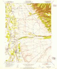
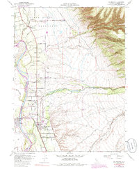
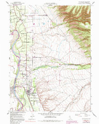
Editions of this 1952 Los Molinos Map
4 editions found
Other maps of this area

1886 · Lassen Peak
USGS Topo · 1:250,000

1890 · Red Bluff
USGS Topo · 1:250,000

1891 · Chico
USGS Topo · 1:125,000

1892 · Lassen Peak
USGS Topo · 1:250,000

1893 · Chico
USGS Topo · 1:125,000

1894 · Lassen Peak
USGS Topo · 1:250,000

1894 · Red Bluff
USGS Topo · 1:250,000

1895 · Chico
USGS Topo · 1:125,000

1904 · Vina
USGS Topo · 1:62,500

1905 · Tehama
USGS Topo · 1:62,500