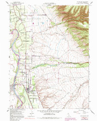
1952 Map of Los Molinos
USGS Topo · Published 1991About this map
Los Molinos sits at the heart of an intricately gridded landscape defined by agriculture and water management along the Sacramento River. This early 1950s survey illustrates a region shaped by Spanish land grants, featuring boundaries for El Primer Canon, Rio De Los Berrendos, and Las Flores. The settlement pattern follows a dense network of numbered avenues, like Sixty-Eighth Ave and First Ave, which intersect with the Southern Pacific railroad line. Local life is anchored by the Los Molinos Grange and the Lassen View Union School, while the eastern terrain rises toward Juniper Ridge and the volcanic foothills.
Find a feature on this map
61 named features on this map. Tap any name to fly to it.
Don’t see what you’re looking for? This feature index may not catch every label — zoom into the map to look around manually.
Map Details
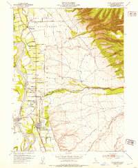
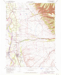
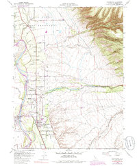
Editions of this 1952 Los Molinos Map
4 editions found
Other maps of this area

1886 · Lassen Peak
USGS Topo · 1:250,000

1890 · Red Bluff
USGS Topo · 1:250,000

1891 · Chico
USGS Topo · 1:125,000

1892 · Lassen Peak
USGS Topo · 1:250,000

1893 · Chico
USGS Topo · 1:125,000

1894 · Lassen Peak
USGS Topo · 1:250,000

1894 · Red Bluff
USGS Topo · 1:250,000

1895 · Chico
USGS Topo · 1:125,000

1904 · Vina
USGS Topo · 1:62,500

1905 · Tehama
USGS Topo · 1:62,500