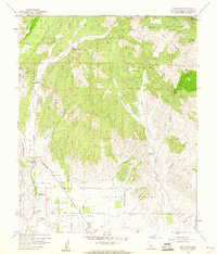
1959 Map of Los Olivos
USGS Topo · Published 1960About this map
Los Olivos and the surrounding Santa Ynez Valley are captured here during a period of ranching and early agricultural development in the late 1950s. The landscape is defined by its deep Spanish land grant heritage, with boundaries for the Corral De Quati, La Zaca, and College Rancho shaping the layout of modern roads and property lines. Small settlements like Ballard and institutional landmarks such as the Midland School and Valley School provide clear points of reference for local historians.
Find a feature on this map
43 named features on this map. Tap any name to fly to it.
Don’t see what you’re looking for? This feature index may not catch every label — zoom into the map to look around manually.
Map Details
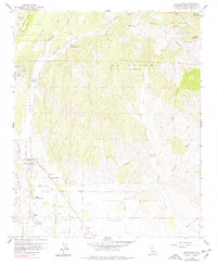
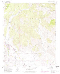
Editions of this 1959 Los Olivos Map
3 editions found
Other maps of this area

1902 · Santa Ynez
USGS Topo · 1:125,000

1905 · Santa Ynez
USGS Topo · 1:125,000

1905 · Lompoc
USGS Topo · 1:125,000

1941 · San Rafael Mtn.
USGS Topo · 1:62,500

1941 · McPherson Peak
USGS Topo · 1:62,500

1942 · Lompoc
USGS Topo · 1:125,000

1942 · San Rafael Mtn.
USGS Topo · 1:62,500

1942 · Tepusquet Peak
USGS Topo · 1:62,500

1942 · Los Olivos
USGS Topo · 1:62,500

1943 · San Rafael Mtn.
USGS Topo · 1:62,500