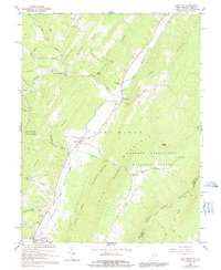
1966 Map of Lost City
USGS Topo · Published 1991About this map
Lost River and the Little Lost River define the valley corridor of this mid-1960s survey along the West Virginia and Virginia border. Small rural communities like Lost City and Mathias serve as central points for a landscape dominated by the ridges of the George Washington National Forest and Great North Mountain. The presence of several country churches, including Holly Hill Church, Mountain View Ch, and New Dale Ch, alongside family-connected burial sites like Greenwood Cem and Cedar Hill Cem, provides significant detail for genealogists tracing local families in Hardy County.
Find a feature on this map
36 named features on this map. Tap any name to fly to it.
Don’t see what you’re looking for? This feature index may not catch every label — zoom into the map to look around manually.
Map Details
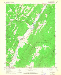
Editions of this 1966 Lost City Map
2 editions found
Other maps of this area

1891 · Romney
USGS Topo · 1:125,000

1892 · Woodstock
USGS Topo · 1:125,000

1920 · Moorefield
USGS Topo · 1:62,500

1921 · Orkney Springs
USGS Topo · 1:48,000

1921 · Moorefield
USGS Topo · 1:48,000

1922 · Moorefield
USGS Topo · 1:62,500

1922 · Wardensville
USGS Topo · 1:62,500

1923 · Orkney Springs
USGS Topo · 1:62,500

1923 · Edinburg
USGS Topo · 1:62,500

1924 · Wardensville
USGS Topo · 1:62,500