
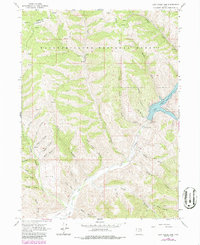
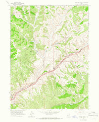
1964 Map of Lost Creek Dam
USGS Topo · Published 1964About this map
The Lost Creek Dam stands as a focal point for water management in this high-elevation landscape, where the waters of Lost Creek are impounded to form the Lost Creek Reservoir. Situated within the Cache National Forest and straddling the border between Weber Co and Morgan Co, the terrain is defined by a complex network of steep drainage canyons like Hell Canyon, Francis Canyon, and Sleeve Canyon. These corridors, along with the broad plateau of Big Flat, speak to a history of resource use and livestock grazing in the mountains east of the Wasatch Front.
Find a feature on this map
42 named features on this map. Tap any name to fly to it.
Don’t see what you’re looking for? This feature index may not catch every label — zoom into the map to look around manually.
Map Details
Editions of this 1964 Lost Creek Dam Map
2 editions found
Other maps of this area

1954 · Ogden
USGS Topo · 1:250,000

1958 · Ogden
USGS Topo · 1:250,000

1960 · Ogden
USGS Topo · 1:250,000
1961 · Devils Slide
USGS Topo · 1:24,000

1961 · Morgan
USGS Topo · 1:62,500

1964 · Francis Canyon
USGS Topo · 1:24,000
1964 · Henefer
USGS Topo · 1:24,000
1964 · Causey Dam
USGS Topo · 1:24,000
1964 · Heiners Creek
USGS Topo · 1:24,000

1968 · Horse Ridge
USGS Topo · 1:24,000