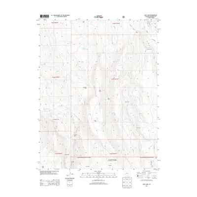
2013 Map of Lost Lake
USGS Topo · Published 2013About this map
Uncompahgre National Forest spans the southern portion of this high-altitude landscape, where high mesas and deep creek drainages define the geography. The map documents a scattered network of historical residences and high-country outposts, including Meaker Ranch, Miles Ranch, and secluded locations such as Sampson Cabin and Reynolds Cabin. These named structures, often associated with early ranching and forestry, are connected by primitive routes like Co Rd-65 and Ridge Rd.
Find a feature on this map
55 named features on this map. Tap any name to fly to it.
Don’t see what you’re looking for? This feature index may not catch every label — zoom into the map to look around manually.
Map Details
Editions of this 2013 Lost Lake Map
This is the sole edition of this map. No revisions or reprints were ever made.
Other maps of this area

1902 · Ouray
USGS Topo · 1:62,500

1903 · Lake City
USGS Topo · 1:62,500

1904 · Ouray
USGS Topo · 1:62,500

1905 · Lake City
USGS Topo · 1:62,500

1908 · Uncompahgre
USGS Topo · 1:125,000

1909 · Montrose
USGS Topo · 1:125,000

1911 · Uncompahgre
USGS Topo · 1:125,000

1911 · Montrose
USGS Topo · 1:125,000

1954 · Sapinero
USGS Topo · 1:24,000

1956 · Curecanti Needle
USGS Topo · 1:24,000