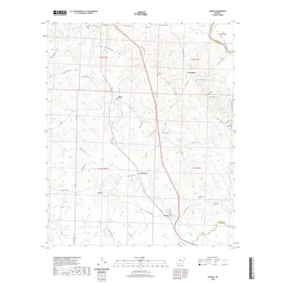
2020 Map of Louann
USGS Topo · Published 2020About this map
Smackover Creek and its many tributaries, including Wolf Cr and N Fork Smackover Cr, define the drainage of this south Arkansas landscape near the Ouachita and Union County border. The settlement pattern is characterized by small, dispersed communities linked by a dense network of secondary roads such as Ouachita Road 50 and Ouachita Road 2. Key population centers include Louann, Elliott, and Frenchport, which serve as anchors for the surrounding rural homesteads. For genealogists, the map is particularly useful for its documentation of numerous burial grounds, such as Old Liberty Cem, Ebenezer Cem, and Mount Horeb Cem. These sites, along with the locations of Kirkland and Liberty, provide a clear picture of the region's late 20th-century social geography before further modernization or timber land consolidation altered the local community structure.
Find a feature on this map
59 named features on this map. Tap any name to fly to it.
Don’t see what you’re looking for? This feature index may not catch every label — zoom into the map to look around manually.
Map Details
Editions of this 2020 Louann Map
This is the sole edition of this map. No revisions or reprints were ever made.
Other maps of this area

1903 · Camden
USGS Topo · 1:125,000

1951 · Camden
USGS Topo · 1:24,000

1953 · El Dorado
USGS Topo · 1:250,000

1957 · El Dorado
USGS Topo · 1:250,000

1958 · El Dorado
USGS Topo · 1:250,000

1960 · El Dorado
USGS Topo · 1:250,000

1962 · Lisbon
USGS Topo · 1:24,000

1962 · Louann
USGS Topo · 1:24,000

1962 · Buena Vista
USGS Topo · 1:24,000

1962 · Smackover
USGS Topo · 1:24,000