Loading...
Loading map...2024 Map of Louann
USGS Topo · Published 2024About this map
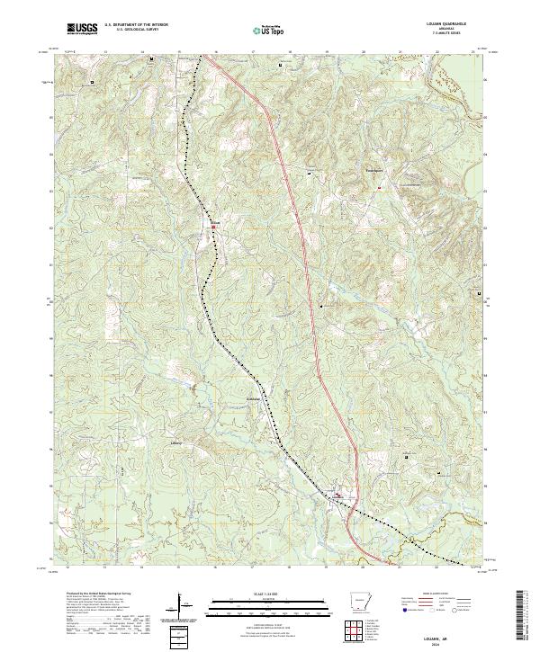
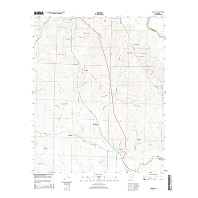
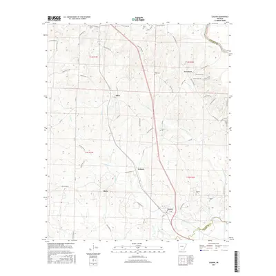
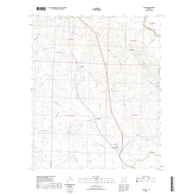
Louann and the adjacent community of Alton sit at the southern edge of this South Arkansas landscape, where the geography is defined by the complex drainage systems of Smackover Creek and its many tributaries. The area shows a distributed pattern of rural settlements such as Elliott, Kirkland, and Liberty, connected by a network of local routes like Ouachita Road 523 and Ouachita Road 2.
Find a feature on this map
71 named features on this map. Tap any name to fly to it.
Don’t see what you’re looking for? This feature index may not catch every label — zoom into the map to look around manually.
Map Details
Date Portrayed2024
Date Published2024
PublisherU.S. Geological Survey
Map TypeTopographic
Scale1:24,000
Physical Dimensions24 x 29 inches
Editions of this 2024 Louann Map
This is the sole edition of this map. No revisions or reprints were ever made.
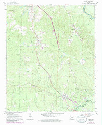
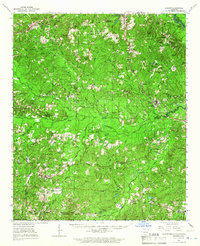
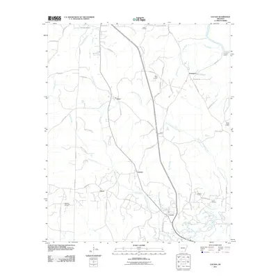
Historical Maps of Louann Through Time
7 maps found
Featured Locations
Source Details
SourceU.S. Geological Survey
CopyrightPublic Domain