
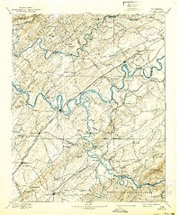
1895 Map of Loudon
USGS Topo · Published 1895About this map
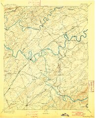
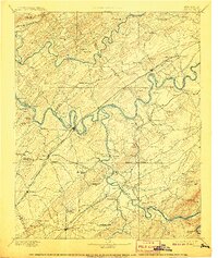
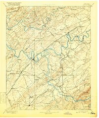
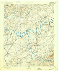
The Tennessee River and Little Tennessee Creek define this late-nineteenth-century landscape, a region where river crossings and ridge-top travel dictated the flow of commerce and settlement. Dozens of ferries, such as Huff Ferry, Lenoir Fy, and Tipton Ferry, serve as vital transit points connecting the valley floor between the imposing Chilhowee Mountain and the parallel crests of Beaver Ridge and Copper Ridge. Early industry is visible at Burns Mill and Brick Mill, while educational foundations are marked by Hiwassee College and Ewing Academy.
Find a feature on this map
129 named features on this map. Tap any name to fly to it.
Don’t see what you’re looking for? This feature index may not catch every label — zoom into the map to look around manually.
Map Details
Editions of this 1895 Loudon Map
6 editions found
Other maps of this area

1886 · Cleveland
USGS Topo · 1:125,000

1886 · Knoxville
USGS Topo · 1:125,000

1887 · Kingston
USGS Topo · 1:125,000

1891 · Kingston
USGS Topo · 1:125,000

1892 · Cleveland
USGS Topo · 1:125,000

1892 · Knoxville
USGS Topo · 1:125,000

1893 · Murphy
USGS Topo · 1:125,000

1893 · Briceville
USGS Topo · 1:125,000

1893 · Kingston
USGS Topo · 1:125,000

1894 · Knoxville
USGS Topo · 1:125,000