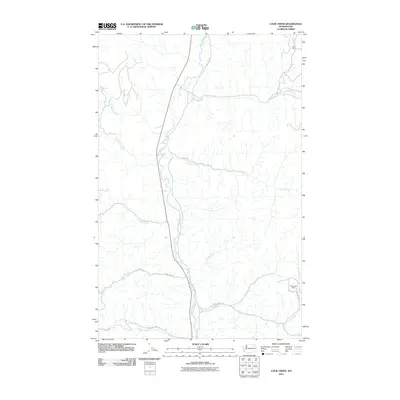
2011 Map of Louie Creek
USGS Topo · Published 2011About this map
The Sanpoil River valley dictates the geography of this northern Washington landscape, with the river winding south through a corridor flanked by numerous drainage systems. These drainages, including Louie Creek, Bridge Creek, and Fortymile Creek, feed the central river from the surrounding high ground. The area's industrial history is evidenced by the presence of the Keno Mine in the north and the Shamrock Mine further south, both situated near secondary watercourses. This 2011 survey shows a network of Bureau of Indian Affairs (BIA) and local roads, such as E San Poil Rd and Iron Creek Rd, which provide access to these remote mining sites and the higher elevations of the Colville Indian Reservation. The pattern of creek names like McAllister Creek and Capoose Creek suggests a history tied to both early settlers and Indigenous names in this river-and-creek system.
Find a feature on this map
20 named features on this map. Tap any name to fly to it.
Don’t see what you’re looking for? This feature index may not catch every label — zoom into the map to look around manually.
Map Details
Editions of this 2011 Louie Creek Map
This is the sole edition of this map. No revisions or reprints were ever made.
Other maps of this area

1950 · Nespelem
USGS Topo · 1:62,500

1952 · Keller
USGS Topo · 1:62,500

1953 · Seventeenmile Mtn.
USGS Topo · 1:62,500

1953 · Bald Knob
USGS Topo · 1:62,500

1954 · Okanogan
USGS Topo · 1:250,000

1958 · Okanogan
USGS Topo · 1:250,000

1984 · Nespelem
USGS Topo · 1:100,000

1986 · Central Peak
USGS Topo · 1:24,000
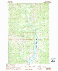
1989 · Keller
USGS Topo · 1:24,000
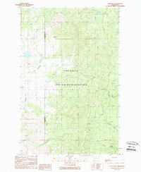
1989 · Nespelem NE
USGS Topo · 1:24,000