
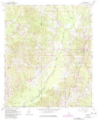
1968 Map of Louin
USGS Topo · Published 1970About this map
Bienville National Forest dominates the northern reaches of this landscape, where the headwaters of West Tallahala Creek and Tallahala Creek carve through the terrain. The central and southern portions of the map reveal a rural network of homesteads and small communities, notably Louin, Ted, and Stringer. This 1968 field check captures the area just as the Gulf Mobile and Ohio railroad corridor served as a primary transportation artery through the eastern half of the quadrangle.
Find a feature on this map
31 named features on this map. Tap any name to fly to it.
Don’t see what you’re looking for? This feature index may not catch every label — zoom into the map to look around manually.
Map Details
Editions of this 1968 Louin Map
2 editions found
Other maps of this area

1953 · Hattiesburg
USGS Topo · 1:250,000

1953 · Meridian
USGS Topo · 1:250,000

1957 · Meridian
USGS Topo · 1:250,000

1958 · Hattiesburg
USGS Topo · 1:250,000

1964 · Lake Como
USGS Topo · 1:24,000

1965 · Meridian
USGS Topo · 1:250,000

1968 · Clear Springs
USGS Topo · 1:24,000

1968 · Pineville
USGS Topo · 1:24,000

1968 · Louin SW
USGS Topo · 1:24,000
1970 · Montrose North
USGS Topo · 1:24,000