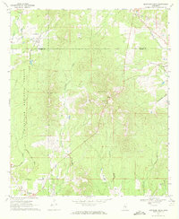
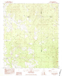
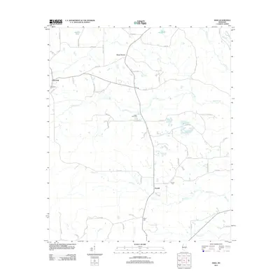
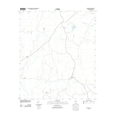
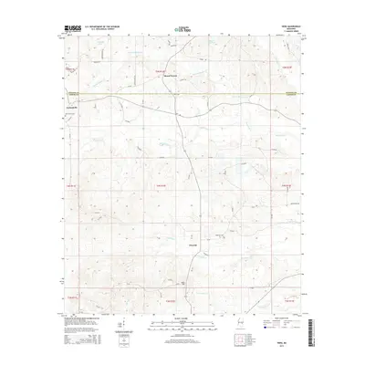
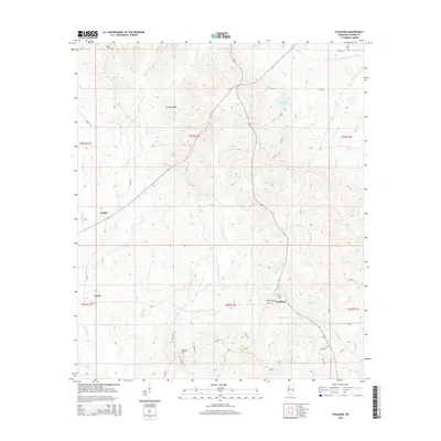
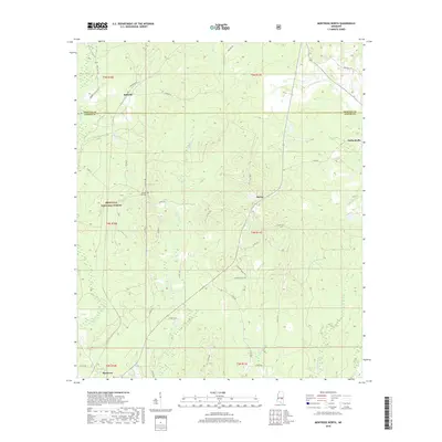
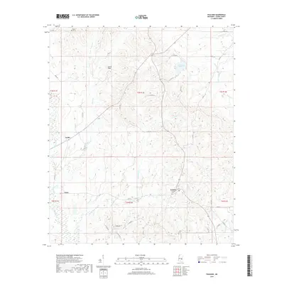
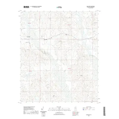
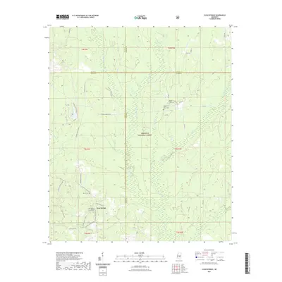
1970 Map of Montrose North
USGS Topo · Published 1972About this map
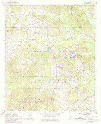
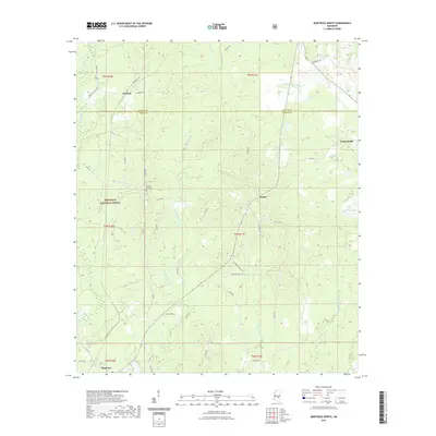
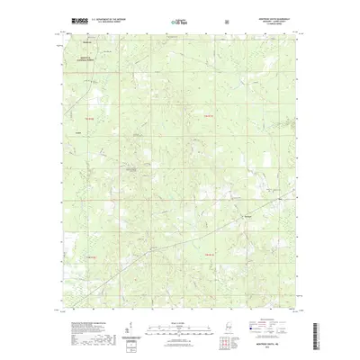
Bienville National Forest dominates the western portion of this landscape at the Jasper and Newton county line. The timbered terrain is dissected by an intricate drainage system including Tallahoma Creek, Beal Creek, and Quarterliah Creek, which flow through the forested hills. The Gulf Mobile and Ohio railroad corridor provides the primary industrial spine for the region, connecting small communities like Roberts and Montrose.
Find a feature on this map
28 named features on this map. Tap any name to fly to it.
Don’t see what you’re looking for? This feature index may not catch every label — zoom into the map to look around manually.
Map Details
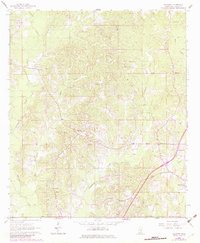
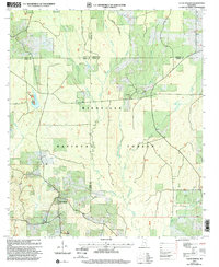
Editions of this 1970 Montrose North Map
2 editions found
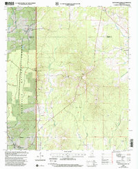
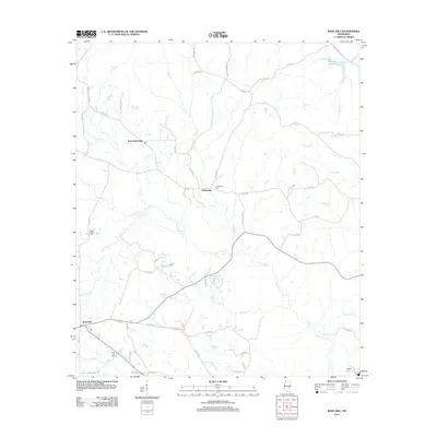
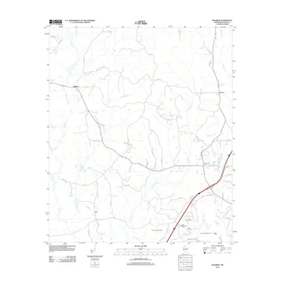
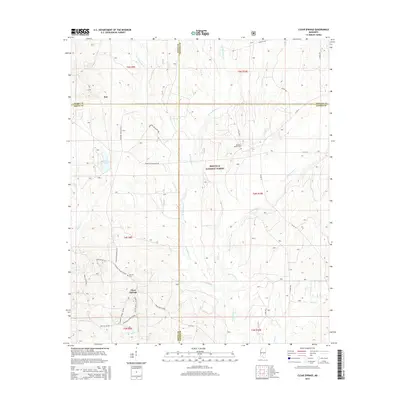
Historical Maps of Montrose Through Time
50 maps found
1963 Waldrup
Jasper County, MS
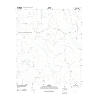
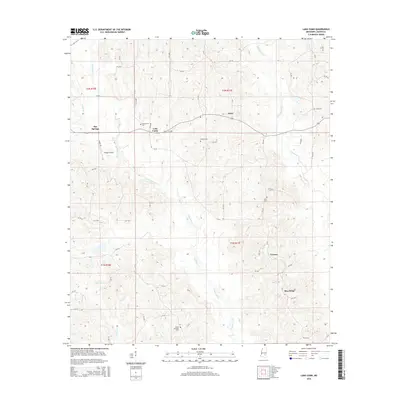
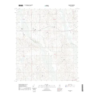
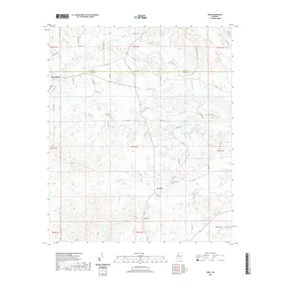
1964 Lake Como
Jasper County, MS
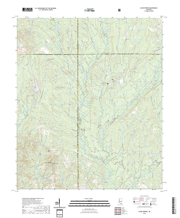
1968 Clear Springs
Jasper County, MS
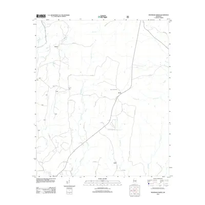
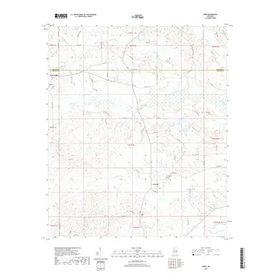
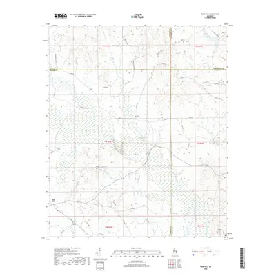
1970 Hero
Jasper County, MS
1970 Montrose North
Jasper County, MS
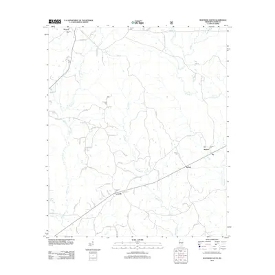
1970 Montrose South
Jasper County, MS
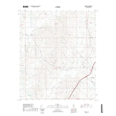
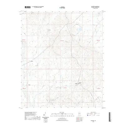
1970 Paulding
Jasper County, MS
1983 Rose Hill
Jasper County, MS
2000 Clear Springs
Jasper County, MS
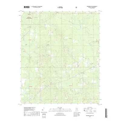
2000 Montrose North
Jasper County, MS
2012 Clear Springs
Jasper County, MS
2012 Hero
Jasper County, MS
2012 Lake Como
Jasper County, MS
2012 Montrose North
Jasper County, MS
2012 Montrose South
Jasper County, MS
2012 Paulding
Jasper County, MS
2012 Rose Hill
Jasper County, MS
2012 Waldrup
Jasper County, MS
2015 Clear Springs
Jasper County, MS
2015 Hero
Jasper County, MS
2015 Lake Como
Jasper County, MS
2015 Montrose North
Jasper County, MS
2015 Montrose South
Jasper County, MS
2015 Paulding
Jasper County, MS
2015 Rose Hill
Jasper County, MS
2015 Waldrup
Jasper County, MS
2018 Clear Springs
Jasper County, MS
2018 Hero
Jasper County, MS
2018 Lake Como
Jasper County, MS
2018 Montrose North
Jasper County, MS
2018 Montrose South
Jasper County, MS
2018 Paulding
Jasper County, MS
2018 Rose Hill
Jasper County, MS
2018 Waldrup
Jasper County, MS
2020 Hero
Jasper County, MS
2020 Lake Como
Jasper County, MS
2020 Paulding
Jasper County, MS
2020 Rose Hill
Jasper County, MS
2020 Waldrup
Jasper County, MS
2021 Clear Springs
Jasper County, MS
2021 Montrose North
Jasper County, MS
2021 Montrose South
Jasper County, MS
2024 Clear Springs
Jasper County, MS
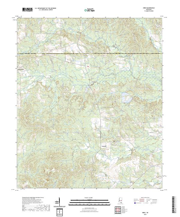
2024 Hero
Jasper County, MS
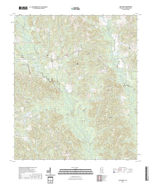
2024 Lake Como
Jasper County, MS
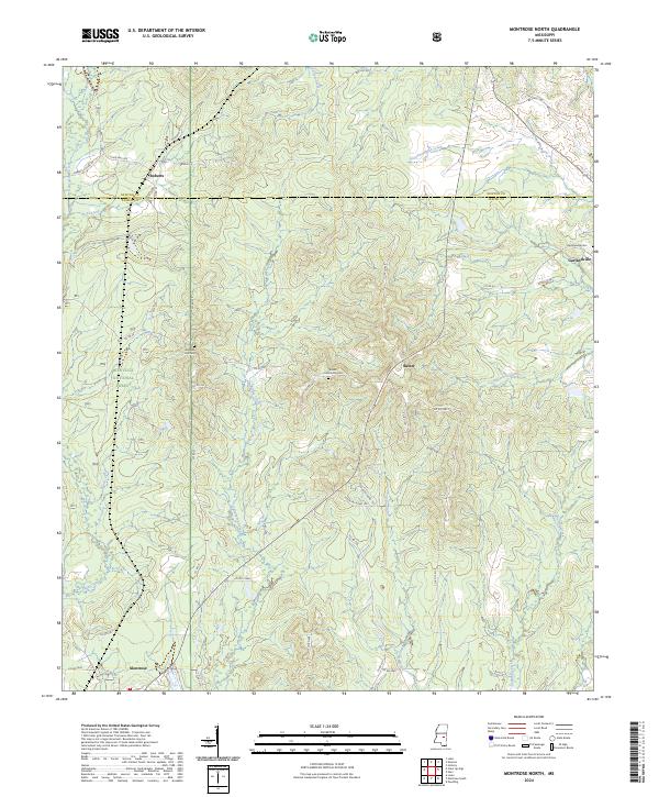
2024 Montrose North
Jasper County, MS
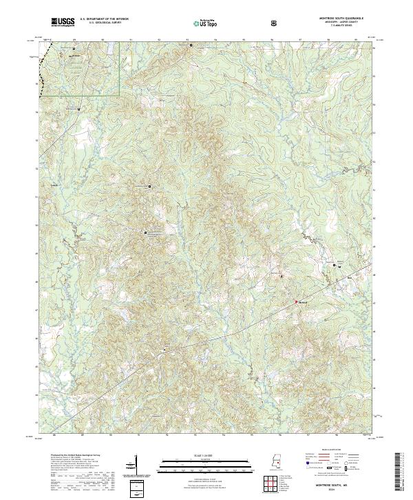
2024 Montrose South
Jasper County, MS
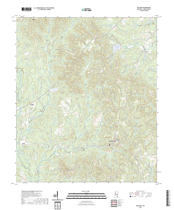
2024 Paulding
Jasper County, MS
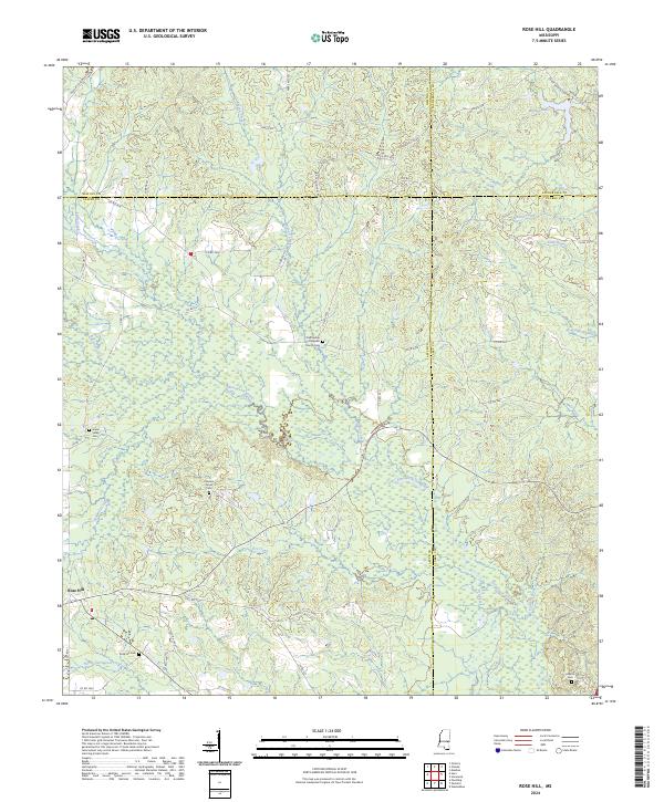
2024 Rose Hill
Jasper County, MS
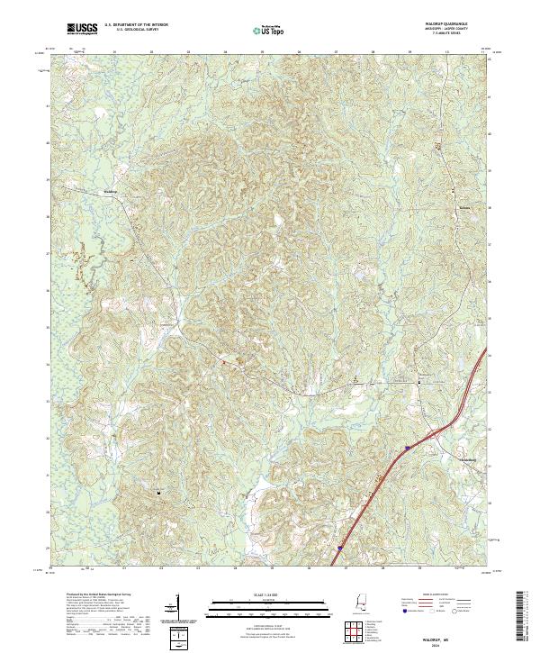
2024 Waldrup
Jasper County, MS