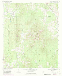
1970 Map of Montrose North
USGS Topo · Published 1982About this map
Bienville National Forest dominates the western portion of this rural Mississippi landscape, where the Newton Co Jasper Co line divides the rolling timberland. Small agricultural and forest-based settlements like Garlandville and Baxter are connected by a network of light-duty roads and the Illinois Central Gulf railroad, which cuts through the southwestern corner near Montrose. Local genealogy and community life are anchored by numerous rural houses of worship and burial grounds, including Pleasant Hill Ch and Sand Ridge Ch.
Find a feature on this map
27 named features on this map. Tap any name to fly to it.
Don’t see what you’re looking for? This feature index may not catch every label — zoom into the map to look around manually.
Map Details
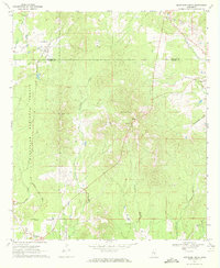
Editions of this 1970 Montrose North Map
2 editions found
Other maps of this area

1921 · Forest
USGS Topo · 1:48,000

1922 · Forest
USGS Topo · 1:62,500

1950 · Forest
USGS Topo · 1:62,500

1952 · Forest
USGS Topo · 1:62,500

1953 · Meridian
USGS Topo · 1:250,000

1957 · Meridian
USGS Topo · 1:250,000

1965 · Meridian
USGS Topo · 1:250,000

1966 · Hickory
USGS Topo · 1:24,000

1966 · Newton
USGS Topo · 1:24,000

1968 · Clear Springs
USGS Topo · 1:24,000