
1890 Map of Louisiana
USGS Topo · Published 1890About this map
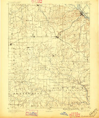
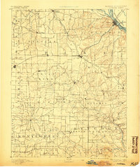
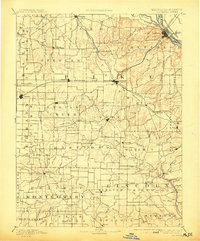
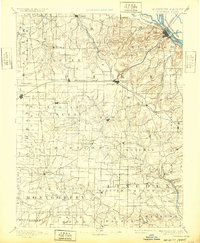
The Mississippi River defines the northeastern boundary of this 1890 survey, where the river-port of Louisiana sits as a vital transit hub for the region's expanding rail network. From here, the St. Louis and Hannibal Railroad cuts southward through the county, crossing the Chicago and Alton Railroad at Bowling Green. This intersection of rail lines supported a network of agricultural and trading outposts like Curryville, Ashley, and Cyrene.
Find a feature on this map
108 named features on this map. Tap any name to fly to it.
Don’t see what you’re looking for? This feature index may not catch every label — zoom into the map to look around manually.
Map Details
Editions of this 1890 Louisiana Map
5 editions found
Other maps of this area

1890 · Mexico
USGS Topo · 1:125,000

1890 · Hermann
USGS Topo · 1:125,000

1890 · Fulton
USGS Topo · 1:125,000

1903 · O'Fallon
USGS Topo · 1:125,000

1903 · Palmyra
USGS Topo · 1:125,000

1926 · Pittsfield
USGS Topo · 1:62,500

1930 · Nebo
USGS Topo · 1:62,500

1931 · Barry
USGS Topo · 1:62,500

1932 · Hannibal
USGS Topo · 1:62,500

1934 · Nebo
USGS Topo · 1:48,000