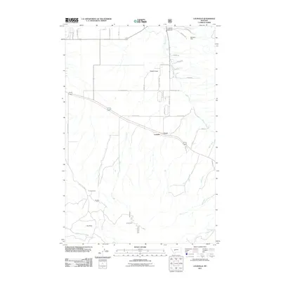
2011 Map of Louisville
USGS Topo · Published 2011About this map
Louisville and the neighboring settlement of Clasoil sit along a primary transportation corridor in this high-plains landscape, where the foothills of the Spokane Hills meet the drainages of Spokane Creek and Corral Creek. The map documents a blend of rural residential development and persistent industrial markers from earlier mining efforts, specifically the Economy Mine located near Turner Cemetery and the Chicago Mine further south. These sites, along with landmarks like Little Butte, illustrate the extractive history and topography that have shaped this portion of Jefferson County.
Find a feature on this map
36 named features on this map. Tap any name to fly to it.
Don’t see what you’re looking for? This feature index may not catch every label — zoom into the map to look around manually.
Map Details
Editions of this 2011 Louisville Map
This is the sole edition of this map. No revisions or reprints were ever made.
Other maps of this area

1886 · Fort Logan
USGS Topo · 1:250,000

1899 · Helena
USGS Topo · 1:62,500

1948 · White Sulphur Springs
USGS Topo · 1:250,000

1950 · Canyon Ferry
USGS Topo · 1:62,500

1950 · Townsend
USGS Topo · 1:62,500

1950 · East Helena
USGS Topo · 1:62,500

1950 · Clancy
USGS Topo · 1:62,500

1958 · White Sulphur Springs
USGS Topo · 1:250,000

1961 · White Sulphur Springs
USGS Topo · 1:250,000

1965 · White Sulphur Springs
USGS Topo · 1:250,000