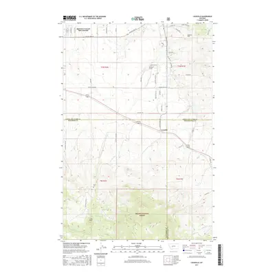
2017 Map of Louisville
USGS Topo · Published 2017About this map
Louisville serves as a central point in this landscape where the borders of Jefferson, Broadwater, and Lewis and Clark counties converge. The terrain is defined by the elevation of the Spokane Hills and the transition into the Helena National Forest to the south. Local history is anchored by the Turner Cem located near the base of the hills, while the drainage of Spokane Cr and its tributaries like Miller Cr and Sheep Cr carve through the mountain folds.
Find a feature on this map
37 named features on this map. Tap any name to fly to it.
Don’t see what you’re looking for? This feature index may not catch every label — zoom into the map to look around manually.
Map Details
Editions of this 2017 Louisville Map
This is the sole edition of this map. No revisions or reprints were ever made.
Other maps of this area

1886 · Fort Logan
USGS Topo · 1:250,000

1899 · Helena
USGS Topo · 1:62,500

1948 · White Sulphur Springs
USGS Topo · 1:250,000

1950 · Canyon Ferry
USGS Topo · 1:62,500

1950 · Townsend
USGS Topo · 1:62,500

1950 · East Helena
USGS Topo · 1:62,500

1950 · Clancy
USGS Topo · 1:62,500

1958 · White Sulphur Springs
USGS Topo · 1:250,000

1961 · White Sulphur Springs
USGS Topo · 1:250,000

1965 · White Sulphur Springs
USGS Topo · 1:250,000