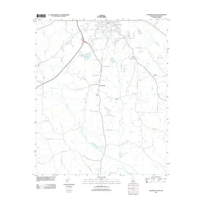
2012 Map of Louisville South
USGS Topo · Published 2012About this map
Louisville serves as the northern anchor of this survey, where a detailed street grid including E Academy St and S Columbus Ave transitions into the rural landscapes of Winston County. The terrain is defined by the winding course of Tallahaga Cr and Hughes Cr, which drain the timbered and agricultural lands south of the city. Notable landmarks include the recreational waters of Lake Tiak-O' Khata and several dispersed rural settlements such as Center Ridge and Estes. Genealogists will find a significant concentration of burial sites throughout the area, from the Masonic Cem and Louisville Cem in town to the more remote Flower Ridge Cem and Macedonia Cem. These features reflect a traditional Mississippi community where family history is deeply rooted in the local landscape and its small church-adjacent graveyards.
Find a feature on this map
84 named features on this map. Tap any name to fly to it.
Don’t see what you’re looking for? This feature index may not catch every label — zoom into the map to look around manually.
Map Details
Editions of this 2012 Louisville South Map
This is the sole edition of this map. No revisions or reprints were ever made.
Other maps of this area

1953 · Meridian
USGS Topo · 1:250,000

1953 · West Point
USGS Topo · 1:250,000

1957 · Meridian
USGS Topo · 1:250,000

1958 · West Point
USGS Topo · 1:250,000

1962 · Vernon
USGS Topo · 1:24,000

1963 · West Point
USGS Topo · 1:250,000

1965 · Meridian
USGS Topo · 1:250,000

1972 · Louisville North
USGS Topo · 1:24,000

1972 · Highpoint
USGS Topo · 1:24,000

1972 · Plattsburg
USGS Topo · 1:24,000