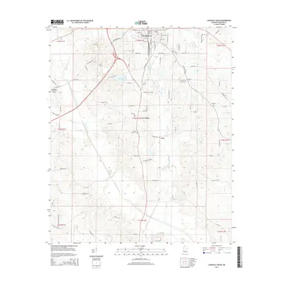
2015 Map of Louisville South
USGS Topo · Published 2015About this map
Louisville serves as the focal point for this survey of southern Winston County, showing the city's southward expansion toward the wooded headwaters of Tallahaga Creek. The landscape transition from the residential street grid of the city, including thoroughfares like S Church Ave and S Columbus Ave, into the surrounding rural communities of Estes and Center Ridge reveals a pattern of development shaped by the local topography. Several family and community cemeteries, such as Macedonia Cem and Flower Ridge Cem, are scattered across the terrain, providing essential landmarks for genealogical research in this portion of Mississippi.
Find a feature on this map
83 named features on this map. Tap any name to fly to it.
Don’t see what you’re looking for? This feature index may not catch every label — zoom into the map to look around manually.
Map Details
Editions of this 2015 Louisville South Map
This is the sole edition of this map. No revisions or reprints were ever made.
Other maps of this area

1953 · Meridian
USGS Topo · 1:250,000

1953 · West Point
USGS Topo · 1:250,000

1957 · Meridian
USGS Topo · 1:250,000

1958 · West Point
USGS Topo · 1:250,000

1962 · Vernon
USGS Topo · 1:24,000

1963 · West Point
USGS Topo · 1:250,000

1965 · Meridian
USGS Topo · 1:250,000

1972 · Louisville North
USGS Topo · 1:24,000

1972 · Highpoint
USGS Topo · 1:24,000

1972 · Plattsburg
USGS Topo · 1:24,000