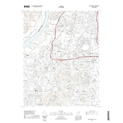
2019 Map of Louisville West
USGS Topo · Published 2019About this map
Louisville expansion and suburban growth are on full display across this southwest Jefferson County landscape, where the Ohio River forms the natural boundary with Indiana. Established neighborhoods like Shively, Parkland, and Saint Dennis transition into more modern developments such as Heatherfield and Pleasure Ridge Park. This area maintains a strong connection to its topographic landmarks, with Round Knob, Red Stone Hill, and Finley Hill rising above the grid of arterial roads like Algonquin Pkwy and Saint Andrews Church Rd. Genealogists will find a high density of burial grounds throughout the quadrangle, including the expansive Louisville Memorial Park, Greenwood Cem, and Saint Stephens Cem. The map captures the complex drainage systems of the region, where Cane Run and the Mill Cr Cutoff manage water flow across the relatively flat riverside plains near Riverside Gardens.
Find a feature on this map
71 named features on this map. Tap any name to fly to it.
Don’t see what you’re looking for? This feature index may not catch every label — zoom into the map to look around manually.
Map Details
Editions of this 2019 Louisville West Map
This is the sole edition of this map. No revisions or reprints were ever made.
Other maps of this area

1905 · Prospect
USGS Topo · 1:62,500

1907 · Louisville
USGS Topo · 1:62,500

1909 · Kosmosdale
USGS Topo · 1:48,000

1912 · Prospect
USGS Topo · 1:62,500

1912 · Kosmosdale
USGS Topo · 1:62,500

1937 · Jeffersonville
USGS Topo · 1:24,000

1939 · New Albany
USGS Topo · 1:24,000

1939 · Georgetown
USGS Topo · 1:24,000

1946 · Jeffersonville
USGS Topo · 1:24,000

1946 · New Albany
USGS Topo · 1:24,000