Loading...
Loading map...2022 Map of Lovelaceville
USGS Topo · Published 2022About this map
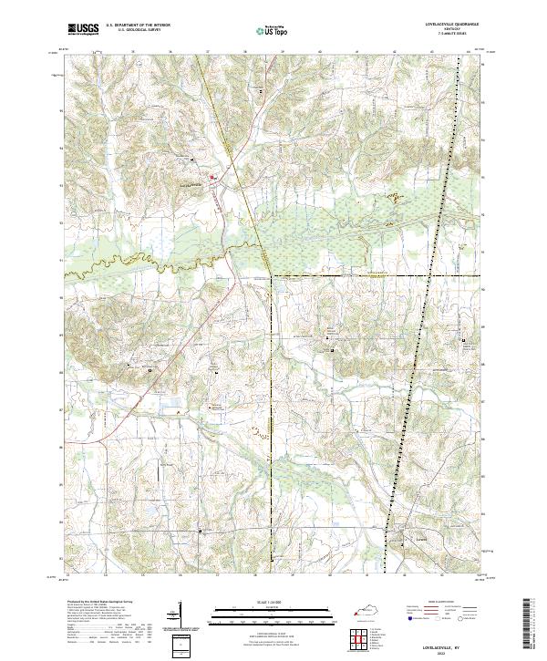
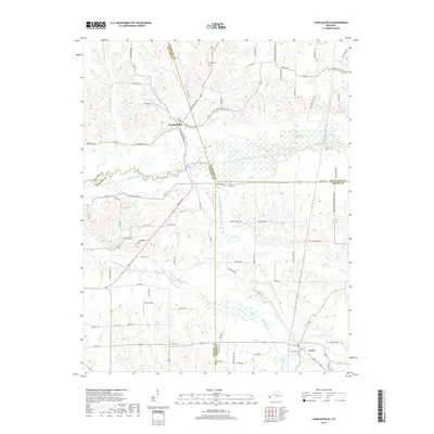
Lovelaceville and Lowes anchor this western Kentucky landscape where the boundaries of Ballard, McCracken, Carlisle, and Graves counties converge. The terrain is defined by the broad, marshy bottoms of Mayfield Creek, which meanders westward through a network of smaller tributaries including Wilson Creek, Brush Creek, and Billington Creek. The settlement pattern reflects a deep-rooted rural community, characterized by numerous family and congregational landmarks.
Find a feature on this map
93 named features on this map. Tap any name to fly to it.
Don’t see what you’re looking for? This feature index may not catch every label — zoom into the map to look around manually.
Map Details
Date Portrayed2022
Date Published2022
PublisherU.S. Geological Survey
Map TypeTopographic
Scale1:24,000
Physical Dimensions24 x 29 inches
Editions of this 2022 Lovelaceville Map
This is the sole edition of this map. No revisions or reprints were ever made.
Historical Maps of Lovelaceville Through Time
5 maps found
Featured Locations
Source Details
SourceU.S. Geological Survey
CopyrightPublic Domain