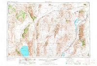
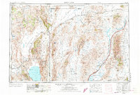
1955 Map of Lovelock
USGS Topo · Published 1968About this map
Black Rock Desert and the Smoke Creek Desert dominate this western Nevada landscape, revealing a region defined by its expansive dry lake beds and isolated mountain ranges during the mid-20th century. The Humboldt River provides a crucial corridor for both water and transport, feeding into the Rye Patch Reservoir and terminating at the Humboldt Lake Humboldt Sink. Significant industrial and military imprints are visible, from the sprawling U S Naval Gunnery Range to active mining operations like the Nevada Mine and Pershing Mine. The Pyramid Lake Indian Reservation encompasses the iconic Pyramid Lake and its distinctive Needle Rocks formation. Transportation is anchored by the Southern Pacific and Western Pacific railroads, which support high-desert settlements such as Gerlach, Lovelock, and Empire.
Find a feature on this map
56 named features on this map. Tap any name to fly to it.
Don’t see what you’re looking for? This feature index may not catch every label — zoom into the map to look around manually.
Map Details
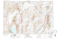
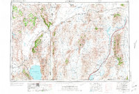
Editions of this 1955 Lovelock Map
5 editions found

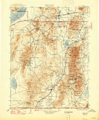
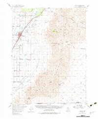
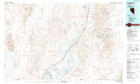
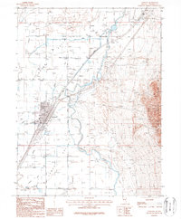
Historical Maps of Lovelock Through Time
11 maps found

1931 Lovelock
Pershing County, NV
1935 Lovelock
Pershing County, NV
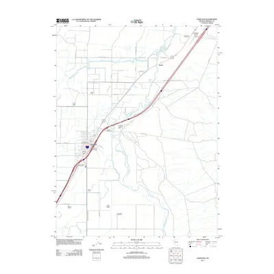
1955 Lovelock
Pershing County, NV
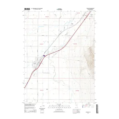
1956 Lovelock
Pershing County, NV

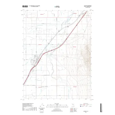
1959 Lovelock
Pershing County, NV
1984 Lovelock
Pershing County, NV
1987 Lovelock
Pershing County, NV
2011 Lovelock
Pershing County, NV
2014 Lovelock
Pershing County, NV
2018 Lovelock
Pershing County, NV
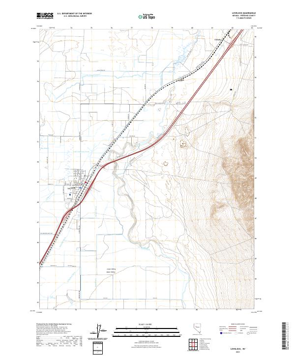
2021 Lovelock
Pershing County, NV