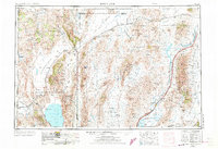
1955 Map of Lovelock
USGS Topo · Published 1973About this map
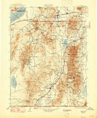
The vast, arid basins of northwestern Nevada are anchored by the Humboldt River and its terminus at the Humboldt Sink. In the mid-1950s, the agricultural and ranching hub of Lovelock stands as the primary settlement, supported by a network of railroad infrastructure including the Southern Pacific and Western Pacific lines. These tracks are dotted with remote sidings and section houses like Antelope Siding and Bronte Section House, which once served the essential maintenance of the rail corridor through the high desert.
Find a feature on this map
100 named features on this map. Tap any name to fly to it.
Don’t see what you’re looking for? This feature index may not catch every label — zoom into the map to look around manually.
Map Details
Editions of this 1955 Lovelock Map
5 editions found

Historical Maps of Lovelock Through Time
11 maps found

1931 Lovelock
Pershing County, NV
1935 Lovelock
Pershing County, NV
1955 Lovelock
Pershing County, NV
1956 Lovelock
Pershing County, NV

1959 Lovelock
Pershing County, NV
1984 Lovelock
Pershing County, NV
1987 Lovelock
Pershing County, NV
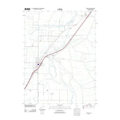
2011 Lovelock
Pershing County, NV
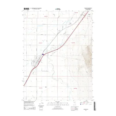
2014 Lovelock
Pershing County, NV
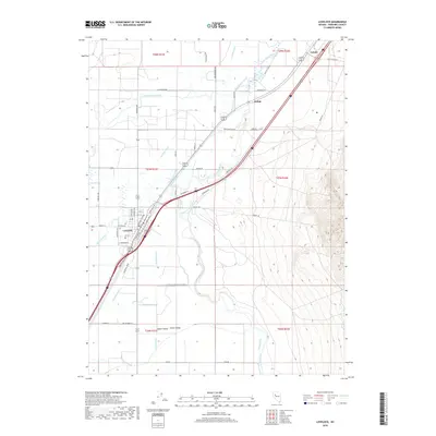
2018 Lovelock
Pershing County, NV
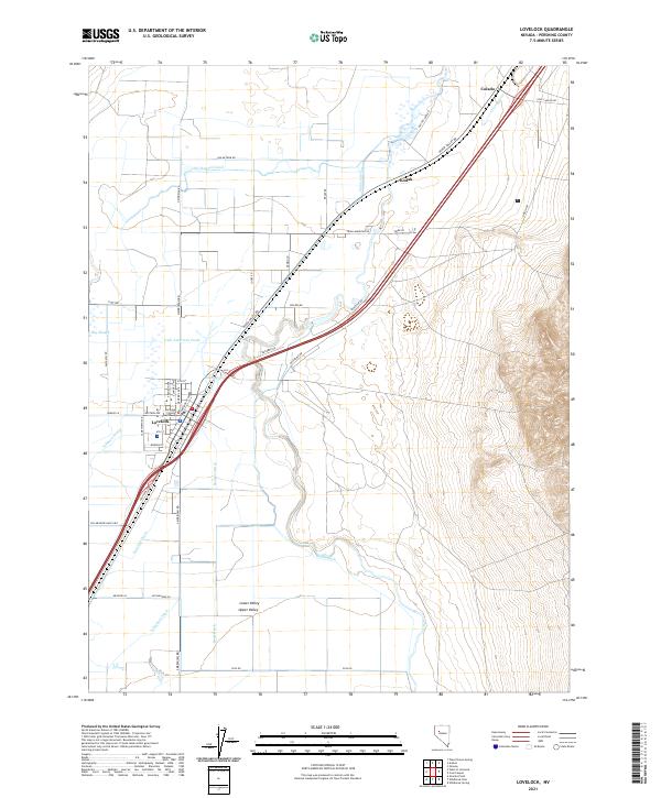
2021 Lovelock
Pershing County, NV