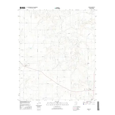
2016 Map of Loving
USGS Topo · Published 2016About this map
Loving and Jean anchor this northeast corner of Young County, where the landscape is defined by a dense network of ranch roads and winding seasonal drainages. The topography is marked by the presence of Newman Lake and Clayton Lake, which supplement the natural flow of Brushy Cr and Little Salt Cr. This region of North Texas maintains a traditional rural character, evidenced by family-named landmarks and long-established transit routes such as Garvey Ranch Rd and Sam Hawkins Rd. For genealogists and local historians, the map provides clear locations for Loving Cem and Hawkins Chapel Cem, situated along Hawkins Chapel Rd. The road network, including numerous farm-to-market routes like FM 1768 and FM 1769, reveals the connectivity between isolated homesteads and the small township centers in the early 21st century.
Find a feature on this map
43 named features on this map. Tap any name to fly to it.
Don’t see what you’re looking for? This feature index may not catch every label — zoom into the map to look around manually.
Map Details
Editions of this 2016 Loving Map
This is the sole edition of this map. No revisions or reprints were ever made.
Other maps of this area

1927 · Graham
USGS Topo · 1:62,500

1954 · Wichita Falls
USGS Topo · 1:250,000

1958 · Wichita Falls
USGS Topo · 1:250,000

1964 · Newcastle
USGS Topo · 1:24,000

1964 · Bobcat Bluff
USGS Topo · 1:24,000

1964 · Darnell Branch
USGS Topo · 1:24,000

1964 · True
USGS Topo · 1:24,000

1964 · Loving
USGS Topo · 1:24,000

1964 · Bryson
USGS Topo · 1:24,000

1964 · Lake Eddleman
USGS Topo · 1:24,000