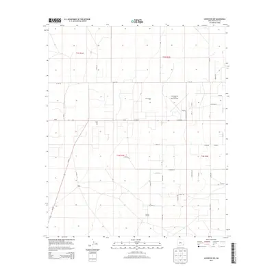
2013 Map of Lovington NW
USGS Topo · Published 2013About this map
The Eidson Oil Field and Townsend Oil Field define the industrial character of this corner of Lea County, where the petroleum economy dominates the landscape northwest of Lovington. Aerial infrastructure is anchored by the Lea County-Zip Franklin Memorial Airport, while the surrounding terrain is a grid of section lines and haul roads. Private landholdings like the Edson Ranch are reached via a network of routes including W Avenue D and S Gill Rd, reflecting a landscape managed for both cattle and oil production. The presence of the Shoe Bar Oil Field further south underscores the intensive natural resource extraction that has shaped the modern development of this region. Local transportation follows a strict cardinal grid, with long stretches such as Western Trail Rd and W Gum Ave cutting across the high plains.
Find a feature on this map
42 named features on this map. Tap any name to fly to it.
Don’t see what you’re looking for? This feature index may not catch every label — zoom into the map to look around manually.
Map Details
Editions of this 2013 Lovington NW Map
This is the sole edition of this map. No revisions or reprints were ever made.
Other maps of this area

1954 · Hobbs
USGS Topo · 1:250,000

1954 · Brownfield
USGS Topo · 1:250,000

1958 · Brownfield
USGS Topo · 1:250,000

1958 · Hobbs
USGS Topo · 1:250,000

1962 · Brownfield
USGS Topo · 1:250,000

1962 · Lovington
USGS Topo · 1:24,000

1962 · Lovington
USGS Topo · 1:62,500

1962 · Buckeye
USGS Topo · 1:62,500

1970 · Hillburn City
USGS Topo · 1:24,000

1970 · Hillburn City SW
USGS Topo · 1:24,000