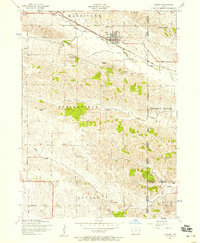
1953 Map of Lowden
USGS Topo · Published 1958About this map
Lowden sits as a primary junction for the Chicago And North Western railroad, anchoring a landscape of agricultural sections and scattered rural schoolhouses in the early 1950s. The terrain is defined by the winding paths of Yankee Run Creek, Lizard Creek, and Rock Creek, which cut through the townships of Massillon, Springfield, and Inland. Genealogists will find a wealth of data points across this Cedar County survey, which records several family or community burying grounds including Van Horn Cemetery and Inland Cemetery. The map documents a period of educational consolidation, marking several former school sites as defunct, such as Hickey School (Abandoned) and Rosette School (Abandoned). Active local hubs at the time of the field check include Memorial Park and the rural Limerick School.
Find a feature on this map
28 named features on this map. Tap any name to fly to it.
Don’t see what you’re looking for? This feature index may not catch every label — zoom into the map to look around manually.
Map Details
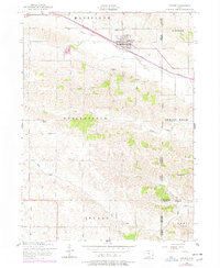
Editions of this 1953 Lowden Map
2 editions found
Other maps of this area

1889 · Tipton
USGS Topo · 1:62,500

1890 · Durant
USGS Topo · 1:62,500

1890 · Tipton
USGS Topo · 1:62,500

1891 · Wilton Junction
USGS Topo · 1:62,500

1892 · Wheatland
USGS Topo · 1:62,500

1894 · Wheatland
USGS Topo · 1:62,500

1894 · Durant
USGS Topo · 1:62,500

1901 · Rock Island
USGS Topo · 1:125,000

1901 · Stanwood
USGS Topo · 1:125,000

1910 · Rock Island
USGS Topo · 1:125,000