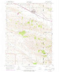
1953 Map of Lowden
USGS Topo · Published 1977About this map
The town of Lowden serves as the focal point of this Eastern Iowa landscape, situated along the vital corridor of the Chicago And North Western railroad. This survey, based on 1950s aerial photography with late 1970s revisions, illustrates a deeply rooted agricultural community defined by its township boundaries and rural educational network. The distribution of several one-room schoolhouses, including School No 1, Red Oak School, and the Hickey School (Abandoned) in Massillon township, reflects a pre-consolidation rural life.
Find a feature on this map
27 named features on this map. Tap any name to fly to it.
Don’t see what you’re looking for? This feature index may not catch every label — zoom into the map to look around manually.
Map Details
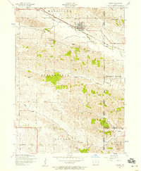
Editions of this 1953 Lowden Map
2 editions found
Other maps of this area

1889 · Tipton
USGS Topo · 1:62,500

1890 · Durant
USGS Topo · 1:62,500

1890 · Tipton
USGS Topo · 1:62,500

1891 · Wilton Junction
USGS Topo · 1:62,500

1892 · Wheatland
USGS Topo · 1:62,500

1894 · Wheatland
USGS Topo · 1:62,500

1894 · Durant
USGS Topo · 1:62,500

1901 · Rock Island
USGS Topo · 1:125,000

1901 · Stanwood
USGS Topo · 1:125,000

1910 · Rock Island
USGS Topo · 1:125,000