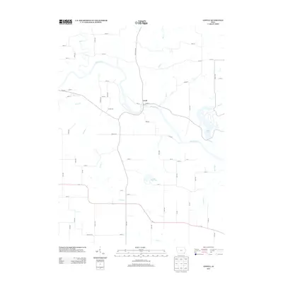
2013 Map of Lowell
USGS Topo · Published 2013About this map
The Lowell settlement sits at a strategic crossing of the Skunk River, where the waterway creates a distinctive oxbow bend in Henry County. This 2013 survey illustrates a landscape defined by its intricate drainage system, with numerous tributaries such as Prairie Cr, Mud Cr, and Big Cr feeding into the main river channel. The topography is shaped by these watercourses, carving out features like Hell Hollow to the southeast. To the east, Geode Lake and its surrounding parkland offer a contrast to the geometric grid of agricultural roads, including Salem Rd and New London Rd. Further south, Lake Wilderness and the headwaters of Lost Cr mark the transition toward the county line. The map records the persistence of rural landmarks and the intersection of local routes like Co HWY w76 in this corner of southeast Iowa.
Find a feature on this map
58 named features on this map. Tap any name to fly to it.
Don’t see what you’re looking for? This feature index may not catch every label — zoom into the map to look around manually.
Map Details
Editions of this 2013 Lowell Map
This is the sole edition of this map. No revisions or reprints were ever made.
Other maps of this area

1936 · Fort Madison
USGS Topo · 1:62,500

1958 · Burlington
USGS Topo · 1:250,000

1961 · Burlington
USGS Topo · 1:250,000

1963 · Burlington
USGS Topo · 1:250,000

1964 · West Point
USGS Topo · 1:24,000
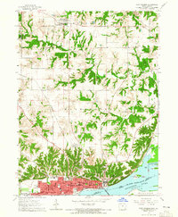
1964 · Fort Madison
USGS Topo · 1:24,000

1968 · Donnellson
USGS Topo · 1:24,000

1981 · Mount Pleasant
USGS Topo · 1:24,000
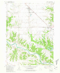
1981 · Danville
USGS Topo · 1:24,000
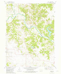
1981 · Lowell
USGS Topo · 1:24,000