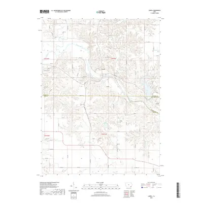
2018 Map of Lowell
USGS Topo · Published 2018About this map
Lowell sits at a prominent bend in the Skunk River, serving as a central point for this rural landscape where Henry, Lee, and Des Moines Counties converge. This 2018 survey documents a region defined by its numerous family and community burial grounds, reflecting generations of agricultural settlement. From the Abbe Cem in the north to the Enslow Cem in the south, these sites are often situated near the drainage breaks of Prairie Cr and Lost Cr. The terrain is characterized by dissected uplands and the distinctive Hell Hollow, with Geode Lake and Lake Wilderness providing significant water features. The placement of Emerson Plot and the Bentler Farm Cem among the section lines illustrates the enduring intersection of private land ownership and local genealogy in this corner of Iowa.
Find a feature on this map
54 named features on this map. Tap any name to fly to it.
Don’t see what you’re looking for? This feature index may not catch every label — zoom into the map to look around manually.
Map Details
Editions of this 2018 Lowell Map
This is the sole edition of this map. No revisions or reprints were ever made.
Other maps of this area

1936 · Fort Madison
USGS Topo · 1:62,500

1958 · Burlington
USGS Topo · 1:250,000

1961 · Burlington
USGS Topo · 1:250,000

1963 · Burlington
USGS Topo · 1:250,000

1964 · West Point
USGS Topo · 1:24,000
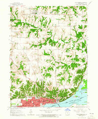
1964 · Fort Madison
USGS Topo · 1:24,000

1968 · Donnellson
USGS Topo · 1:24,000

1981 · Mount Pleasant
USGS Topo · 1:24,000
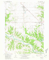
1981 · Danville
USGS Topo · 1:24,000
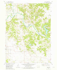
1981 · Lowell
USGS Topo · 1:24,000