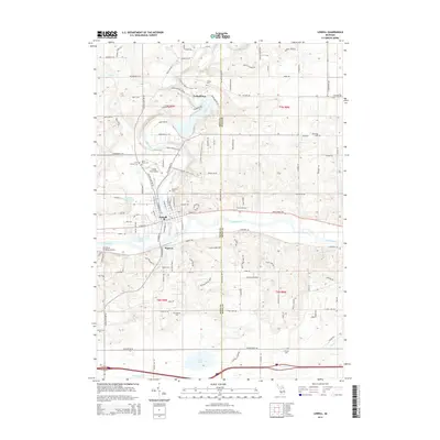
2014 Map of Lowell
USGS Topo · Published 2014About this map
Lowell sits at the significant confluence of the Grand River and the Flat River, a location that historically dictated the regional transportation and settlement patterns of Kent County. This 2014 survey captures the township's modern layout while preserving the names of several family-linked landmarks and early settlements like Segwun and Fallasburg. The latter is notable for its proximity to Covered Bridge Rd NE, indicating the preservation of traditional river crossings in the area.
Find a feature on this map
128 named features on this map. Tap any name to fly to it.
Don’t see what you’re looking for? This feature index may not catch every label — zoom into the map to look around manually.
Map Details
Editions of this 2014 Lowell Map
This is the sole edition of this map. No revisions or reprints were ever made.
Other maps of this area

1916 · Ionia
USGS Topo · 1:62,500

1918 · Ionia
USGS Topo · 1:62,500

1918 · Lowell
USGS Topo · 1:62,500

1943 · Ionia
USGS Topo · 1:62,500

1943 · Lowell
USGS Topo · 1:62,500

1954 · Midland
USGS Topo · 1:250,000

1958 · Midland
USGS Topo · 1:250,000

1958 · Grand Rapids
USGS Topo · 1:250,000

1959 · Midland
USGS Topo · 1:250,000

1961 · Grand Rapids
USGS Topo · 1:250,000
Featured Places
- Lowell Charter Township, MI
- Vergennes Township, MI
- Lowell, MI
- Keene Township, MI
- Segwun, Lowell Charter Township