
1918 Map of Lowell
USGS Topo · Published 1918About this map
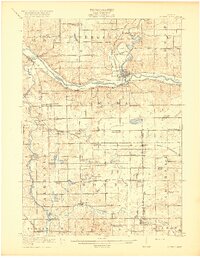
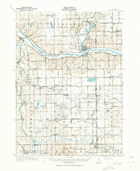
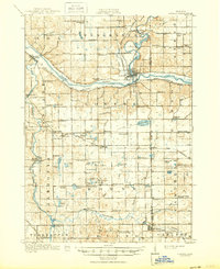
Lowell and its surrounding townships in Kent and Ionia counties are defined here by the confluence of major river systems and the robust expansion of early 20th-century transportation. The Grand River cuts a wide path through the northern half of the sheet, mirrored by the Grand Trunk Road and the Pere Marquette railroad, which provided vital connections for agricultural and milling communities. To the south, the Thornapple River and Coldwater River snake through more irregular terrain, supporting outlying settlements like Alaska and Labadie.
Find a feature on this map
86 named features on this map. Tap any name to fly to it.
Don’t see what you’re looking for? This feature index may not catch every label — zoom into the map to look around manually.
Map Details
Editions of this 1918 Lowell Map
4 editions found
Other maps of this area

1914 · Grand Rapids
USGS Topo · 1:62,500

1916 · Ionia
USGS Topo · 1:62,500

1918 · Cedar Springs
USGS Topo · 1:62,500

1918 · Ionia
USGS Topo · 1:62,500

1943 · Cedar Springs
USGS Topo · 1:62,500

1943 · Grand Rapids
USGS Topo · 1:62,500

1943 · Ionia
USGS Topo · 1:62,500

1943 · Lowell
USGS Topo · 1:62,500

1950 · Nashville
USGS Topo · 1:62,500

1951 · Nashville
USGS Topo · 1:62,500
Featured Places
- Cascade Charter Township, MI
- Ada Township, MI
- Lowell Charter Township, MI
- Vergennes Township, MI
- Lowell, MI