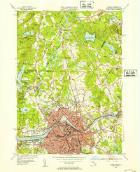
1950 Map of Lowell
USGS Topo · Published 1953About this map
The Merrimack River serves as the industrial and geographic anchor of this mid-century portrait, winding through a landscape defined by the heavy infrastructure of Lowell. The map detail captures the city’s dense urban grid, including educational and religious institutions such as the Lowell Textile Institute, State Teachers College, and the St Louis Convent. Transport and power systems are clearly defined, from the Boston and Maine RR corridors to the hydraulic works of the Pawtucket Dam and Pawtucket Falls.
Find a feature on this map
119 named features on this map. Tap any name to fly to it.
Don’t see what you’re looking for? This feature index may not catch every label — zoom into the map to look around manually.
Map Details
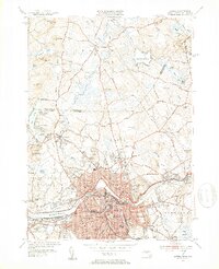
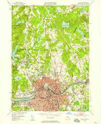
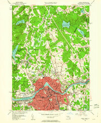
Editions of this 1950 Lowell Map
4 editions found
Other maps of this area

1886 · Lawrence
USGS Topo · 1:62,500

1886 · Lowell
USGS Topo · 1:62,500

1888 · Haverhill
USGS Topo · 1:62,500

1888 · Lawrence
USGS Topo · 1:62,500

1890 · Haverhill
USGS Topo · 1:62,500

1893 · Lowell
USGS Topo · 1:62,500

1893 · Lawrence
USGS Topo · 1:62,500

1893 · Haverhill
USGS Topo · 1:62,500

1905 · Manchester
USGS Topo · 1:62,500

1918 · Lowell
USGS Topo · 1:62,500