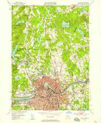
1950 Map of Lowell
USGS Topo · Published 1958About this map
The Merrimack River bisects this mid-century landscape, anchoring the industrial and educational core of Lowell and its surrounding neighborhoods like Centralville and Pawtucketville. The map illustrates a city deeply invested in its institutions, featuring the Lowell Textile Institute, State Teachers College, and Keith Academy, alongside significant medical and social landmarks such as Lowell General Hospital and St Peters Orphanage. To the north, the terrain shifts into the wooded hills of Pelham, New Hampshire, and Dracut, where family-named cemeteries like Gibson Cem and Atwood Cem dot the countryside.
Find a feature on this map
96 named features on this map. Tap any name to fly to it.
Don’t see what you’re looking for? This feature index may not catch every label — zoom into the map to look around manually.
Map Details
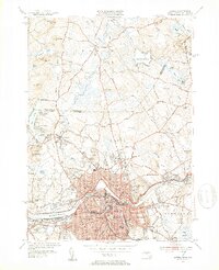
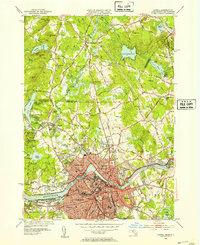
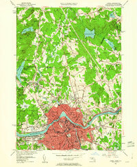
Editions of this 1950 Lowell Map
4 editions found
Other maps of this area

1886 · Lawrence
USGS Topo · 1:62,500

1886 · Lowell
USGS Topo · 1:62,500

1888 · Haverhill
USGS Topo · 1:62,500

1888 · Lawrence
USGS Topo · 1:62,500

1890 · Haverhill
USGS Topo · 1:62,500

1893 · Lowell
USGS Topo · 1:62,500

1893 · Lawrence
USGS Topo · 1:62,500

1893 · Haverhill
USGS Topo · 1:62,500

1905 · Manchester
USGS Topo · 1:62,500

1918 · Lowell
USGS Topo · 1:62,500