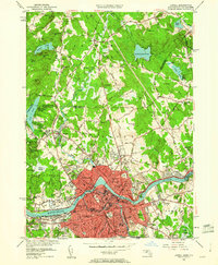
1950 Map of Lowell
USGS Topo · Published 1960About this map
The Merrimack River dominates this industrial and academic landscape, curving sharply through the heart of Lowell and its surrounding neighborhoods. At this mid-century point, the river remains the engine of the region, anchored by the Pawtucket Dam and supporting the extensive Bleachery operations and textile-driven infrastructure. The map details a dense urban fabric where institutional life is prominent, featuring the Lowell Textile Institute, State Teachers College, and Keith Academy.
Find a feature on this map
86 named features on this map. Tap any name to fly to it.
Don’t see what you’re looking for? This feature index may not catch every label — zoom into the map to look around manually.
Map Details
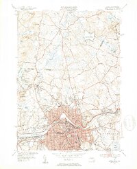
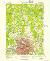
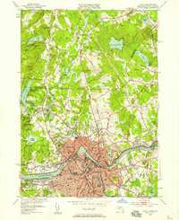
Editions of this 1950 Lowell Map
4 editions found
Other maps of this area

1886 · Lawrence
USGS Topo · 1:62,500

1886 · Lowell
USGS Topo · 1:62,500

1888 · Haverhill
USGS Topo · 1:62,500

1888 · Lawrence
USGS Topo · 1:62,500

1890 · Haverhill
USGS Topo · 1:62,500

1893 · Lowell
USGS Topo · 1:62,500

1893 · Lawrence
USGS Topo · 1:62,500

1893 · Haverhill
USGS Topo · 1:62,500

1905 · Manchester
USGS Topo · 1:62,500

1918 · Lowell
USGS Topo · 1:62,500