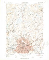
1950 Map of Lowell
USGS Topo · Published 1953About this map
The industrial and educational landscape of Lowell is anchored by the Merrimack River, where the Pawtucket Dam and Pawtucket Falls reflect the city's legacy of water-powered industry. Post-war development is evident across the city, from the dense residential wards of the Highlands and Belvidere to institutional landmarks like the Lowell Textile Institute and the State Teachers College. The Boston and Maine Railroad serves as a primary transit spine, connecting the city to surrounding townships.
Find a feature on this map
110 named features on this map. Tap any name to fly to it.
Don’t see what you’re looking for? This feature index may not catch every label — zoom into the map to look around manually.
Map Details
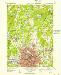
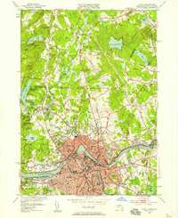
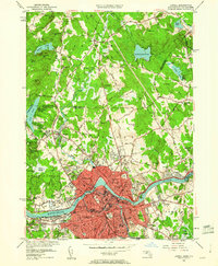
Editions of this 1950 Lowell Map
4 editions found
Other maps of this area

1886 · Lawrence
USGS Topo · 1:62,500

1886 · Lowell
USGS Topo · 1:62,500

1888 · Haverhill
USGS Topo · 1:62,500

1888 · Lawrence
USGS Topo · 1:62,500

1890 · Haverhill
USGS Topo · 1:62,500

1893 · Lowell
USGS Topo · 1:62,500

1893 · Lawrence
USGS Topo · 1:62,500

1893 · Haverhill
USGS Topo · 1:62,500

1905 · Manchester
USGS Topo · 1:62,500

1918 · Lowell
USGS Topo · 1:62,500