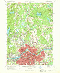
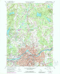
1966 Map of Lowell
USGS Topo · Published 1968About this map
The Merrimack River serves as the industrial and geographic anchor of this mid-1960s study, bisecting the textile-steeped city of Lowell at the Pawtucket Falls. The map reveals an era of educational expansion, marking the campuses of the Lowell Technological Institute and the State Teachers College alongside numerous parochial institutions like St Josephs Boys Sch and St Margarets Sch. While the urban core is densely developed, the northern reach across the state line into Pelham and Dracut remains defined by woodlots, wetlands like Great Swamp, and family-named cemeteries such as Sherburne Cem and Atwood Cem. Transportation patterns are characterized by the Boston and Maine railroad corridor and the emerging Lowell Connector, which contrast with older riverside settlements like Middlesex Village and Varnumtown. The landscape still bears the marks of resource extraction in the form of numerous Gravel Pits and the specifically named Nickel Mine Hill.
Find a feature on this map
142 named features on this map. Tap any name to fly to it.
Don’t see what you’re looking for? This feature index may not catch every label — zoom into the map to look around manually.
Map Details
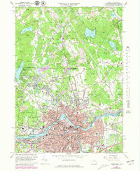
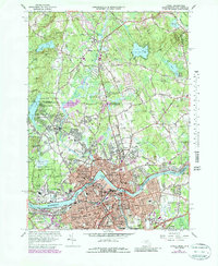
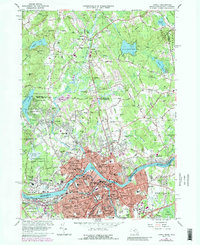
Editions of this 1966 Lowell Map
5 editions found
Other maps of this area

1886 · Lawrence
USGS Topo · 1:62,500

1886 · Lowell
USGS Topo · 1:62,500

1888 · Haverhill
USGS Topo · 1:62,500

1888 · Lawrence
USGS Topo · 1:62,500

1890 · Haverhill
USGS Topo · 1:62,500

1893 · Lowell
USGS Topo · 1:62,500

1893 · Lawrence
USGS Topo · 1:62,500

1893 · Haverhill
USGS Topo · 1:62,500

1905 · Manchester
USGS Topo · 1:62,500

1918 · Lowell
USGS Topo · 1:62,500