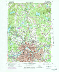
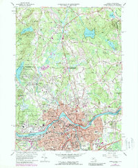
1966 Map of Lowell
USGS Topo · Published 1987About this map
The Merrimack River serves as the industrial and geographic anchor of this landscape, defining the layout of Lowell and its surrounding neighborhoods. By the mid-1960s, the urban core was densely packed with civic institutions, including Keith Academy, St Peters Sch, and the State Teachers College. The transportation network is dominated by the Boston and Maine railroad lines and major arteries like Merrimack St, which connect the inner city to residential districts such as Belvidere and Pawtucketville.
Find a feature on this map
95 named features on this map. Tap any name to fly to it.
Don’t see what you’re looking for? This feature index may not catch every label — zoom into the map to look around manually.
Map Details
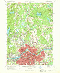
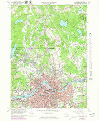
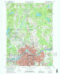
Editions of this 1966 Lowell Map
5 editions found
Other maps of this area

1886 · Lawrence
USGS Topo · 1:62,500

1886 · Lowell
USGS Topo · 1:62,500

1888 · Haverhill
USGS Topo · 1:62,500

1888 · Lawrence
USGS Topo · 1:62,500

1890 · Haverhill
USGS Topo · 1:62,500

1893 · Lowell
USGS Topo · 1:62,500

1893 · Lawrence
USGS Topo · 1:62,500

1893 · Haverhill
USGS Topo · 1:62,500

1905 · Manchester
USGS Topo · 1:62,500

1918 · Lowell
USGS Topo · 1:62,500