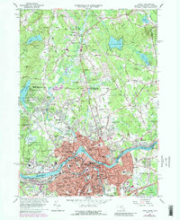
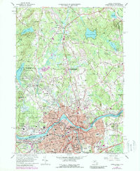
1966 Map of Lowell
USGS Topo · Published 1989About this map
The Merrimack River serves as the industrial and geographic anchor for this 1966 revision of the Merrimack Valley, where the urban density of Lowell meets the developing suburbs of Dracut and Pelham. The landscape is defined by the convergence of the Concord River and Beaver Brook with the Merrimack, supporting a dense network of neighborhoods like Centralville, Belvidere, and Pawtucketville. Numerous parish schools and cemeteries, including St Patricks Convent Sch and Hildreth Cem, reflect the area's deep-rooted community history and ethnic enclaves.
Find a feature on this map
127 named features on this map. Tap any name to fly to it.
Don’t see what you’re looking for? This feature index may not catch every label — zoom into the map to look around manually.
Map Details
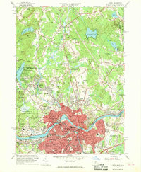
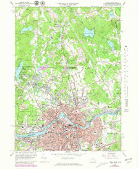
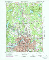
Editions of this 1966 Lowell Map
5 editions found
Other maps of this area

1886 · Lawrence
USGS Topo · 1:62,500

1886 · Lowell
USGS Topo · 1:62,500

1888 · Haverhill
USGS Topo · 1:62,500

1888 · Lawrence
USGS Topo · 1:62,500

1890 · Haverhill
USGS Topo · 1:62,500

1893 · Lowell
USGS Topo · 1:62,500

1893 · Lawrence
USGS Topo · 1:62,500

1893 · Haverhill
USGS Topo · 1:62,500

1905 · Manchester
USGS Topo · 1:62,500

1918 · Lowell
USGS Topo · 1:62,500