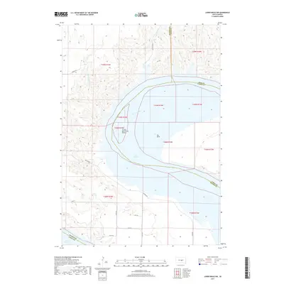
2017 Map of Lower Brule NW
USGS Topo · Published 2017About this map
The Big Bend of the Missouri dominates this central South Dakota landscape, where the Missouri River executes a massive horseshoe loop. Much of this dramatic bend is now occupied by the waters of Lake Sharpe, a reservoir formed following mid-century damming projects. The topography is defined by the dissection of the high plains into the river valley, with drainages like Joe Cr, Chaney Rush Cr, and Arrowhead Spring Cr carving deep draws into the surrounding bluffs. Human presence is scattered across the uplands, primarily organized by a grid of rural routes such as Carmody Rd and Westbend Rd. The intersection of multiple county lines—including Hughes, Hyde, and Lyman—within the river's path highlights the historical importance of this waterway as a natural and political boundary.
Find a feature on this map
22 named features on this map. Tap any name to fly to it.
Don’t see what you’re looking for? This feature index may not catch every label — zoom into the map to look around manually.
Map Details
Editions of this 2017 Lower Brule NW Map
This is the sole edition of this map. No revisions or reprints were ever made.
Other maps of this area

1953 · Huron
USGS Topo · 1:250,000

1954 · Huron
USGS Topo · 1:250,000

1966 · Lower Brule NW
USGS Topo · 1:24,000

1966 · Joe Creek
USGS Topo · 1:24,000

1966 · Lower Brule SW
USGS Topo · 1:24,000

1966 · Joe Creek SE
USGS Topo · 1:24,000

1966 · Lower Brule NE
USGS Topo · 1:24,000

1966 · Lower Brule
USGS Topo · 1:24,000

1973 · Chapelle Lake SE
USGS Topo · 1:24,000

1973 · De Grey SE
USGS Topo · 1:24,000